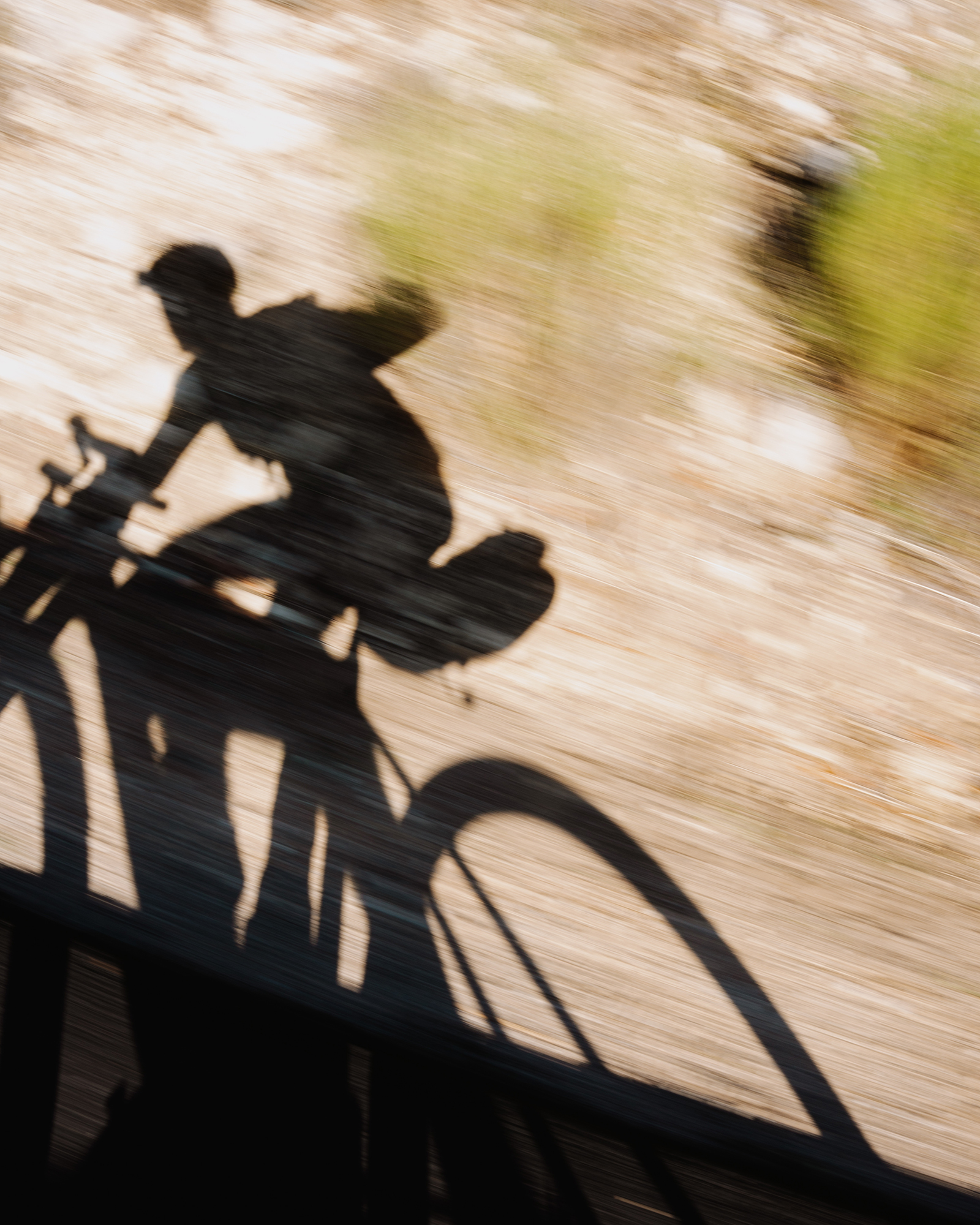
In the southeast of Spain lies a region that has become well-known within the gravel community for its unique scenery: the Gorafe Desert and its intricate network of gullies. What’s less known, however, is that just a few kilometers away you’ll find one of the largest forests on the Iberian Peninsula, as well as the country’s highest plateau — an open moorland stretching across nearly 10,000 hectares at an average elevation of 1,700 meters. Three unique landscapes, all just a few hours from home, which we set out to link together on our gravel bikes through secondary roads, unpaved tracks, and some singletracks. A 300-kilometer loop with contrasts hard to find anywhere else.
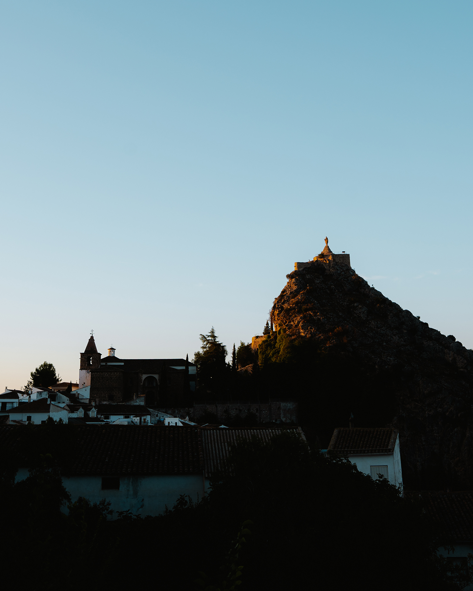
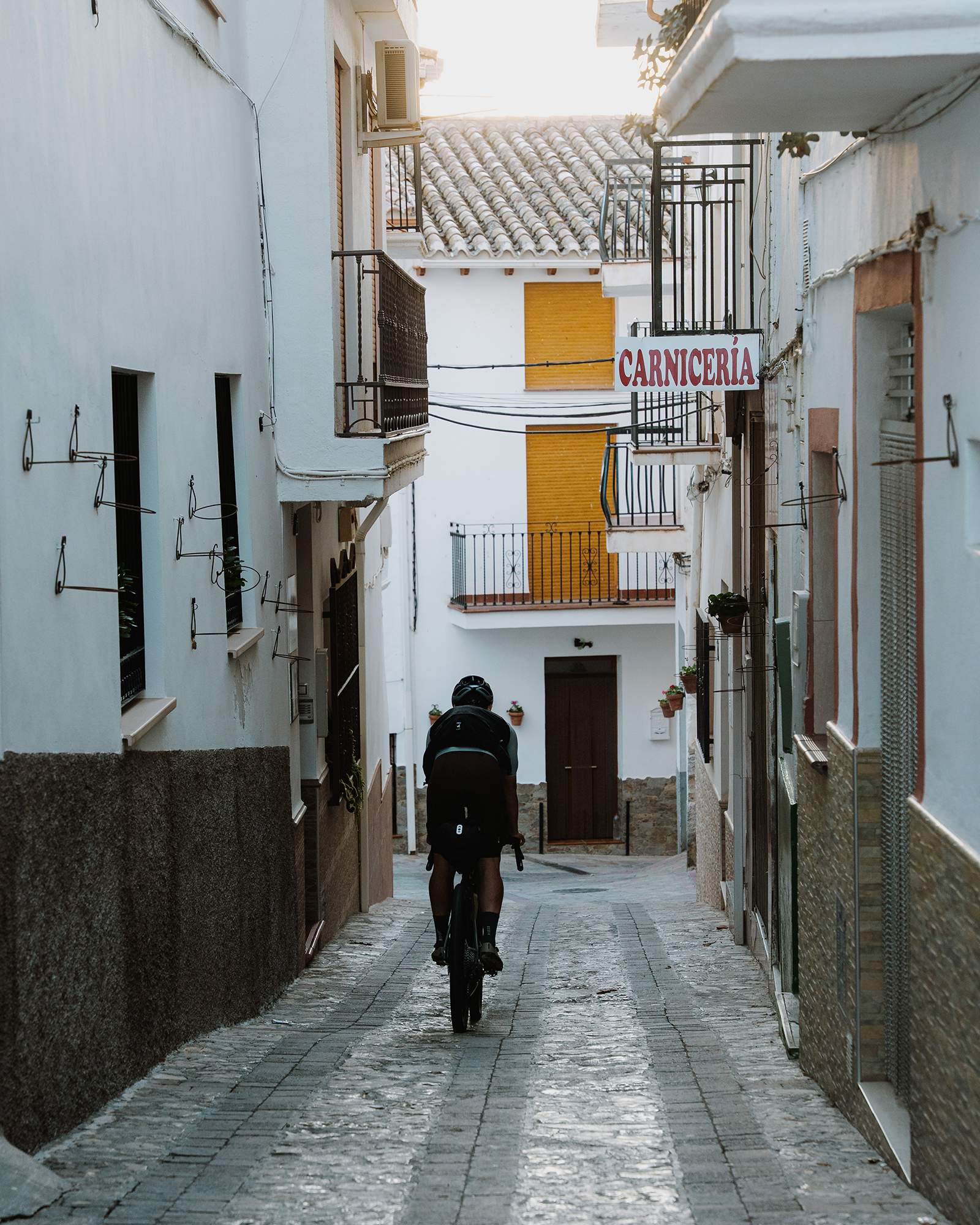
We began our adventure in Castril, a small village located in the north of Granada province. It’s bordered by the river of the same name, which rises a few kilometers upstream in the surrounding mountains. From its narrow, steep streets, we descended carefully, barely letting go of the brakes, until we reached the riverbed — from there, we followed its course southward.
We rode along clay tracks where the rain from the previous days had left behind a few muddy patches. After just ten kilometers, our bikes already looked as if they’d been on a long bikepacking trip.
With the river always on our right and after passing through a couple of tiny villages with no services, we reached Cortes de Baza. There, with the morning already well underway and the sun finally warming us up a bit, we stopped for a proper mid-morning meal at one of the local bars.
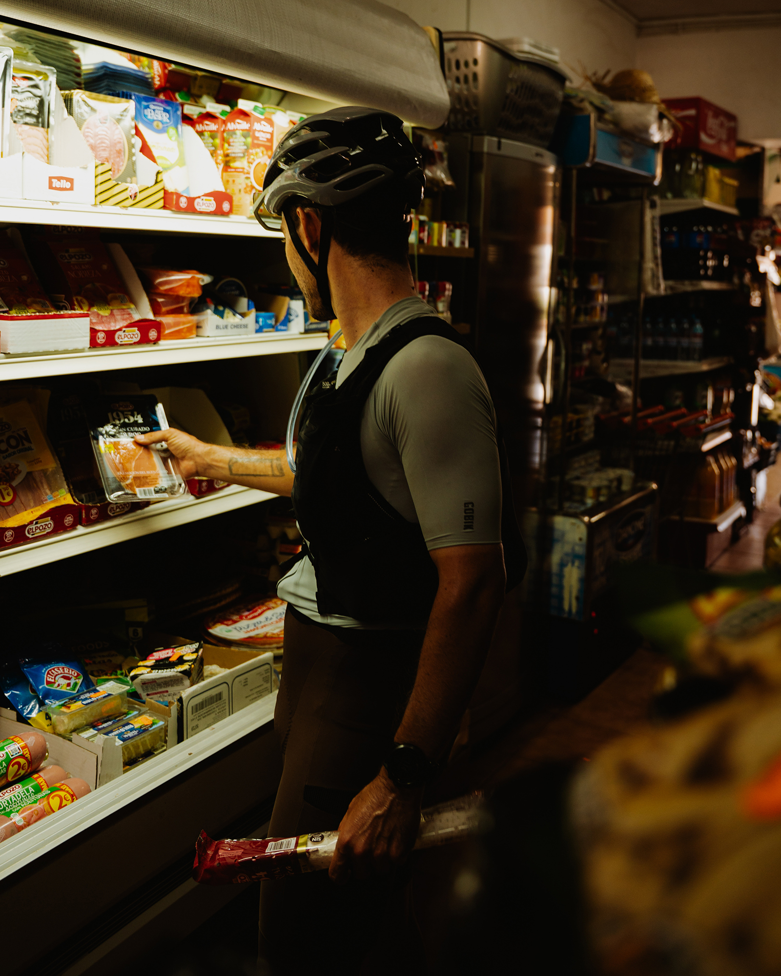
After exchanging a few jokes with the locals — curious about our loaded bikes and the camera — we bought some food to carry in our packs and kept moving forward.
The badlands
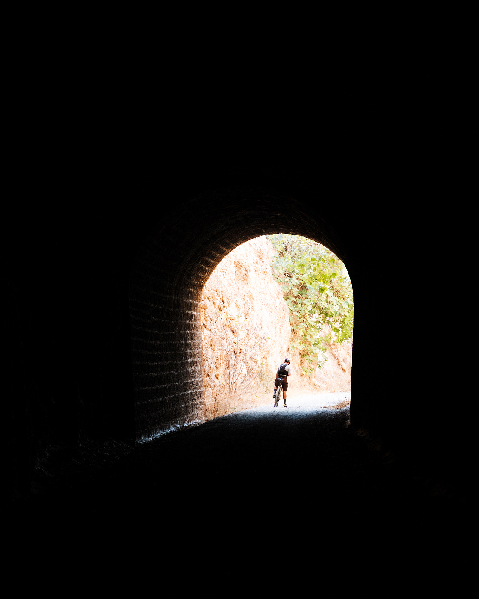
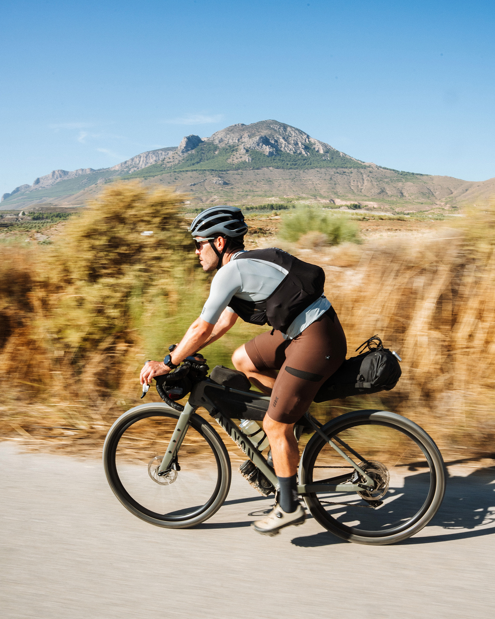
Leaving the Castril River behind, we entered the Granada Geopark, heading toward Baza. The old railway line, now turned into a perfect gravel path, allowed us to pick up the pace and really let our gravel bikes do what they were built for. Along this Vía Verde and through farm tracks surrounded by fields, the imposing Cerro Jabalcón stood to our right, which we gradually circled before changing our direction northward in search of Gorafe.
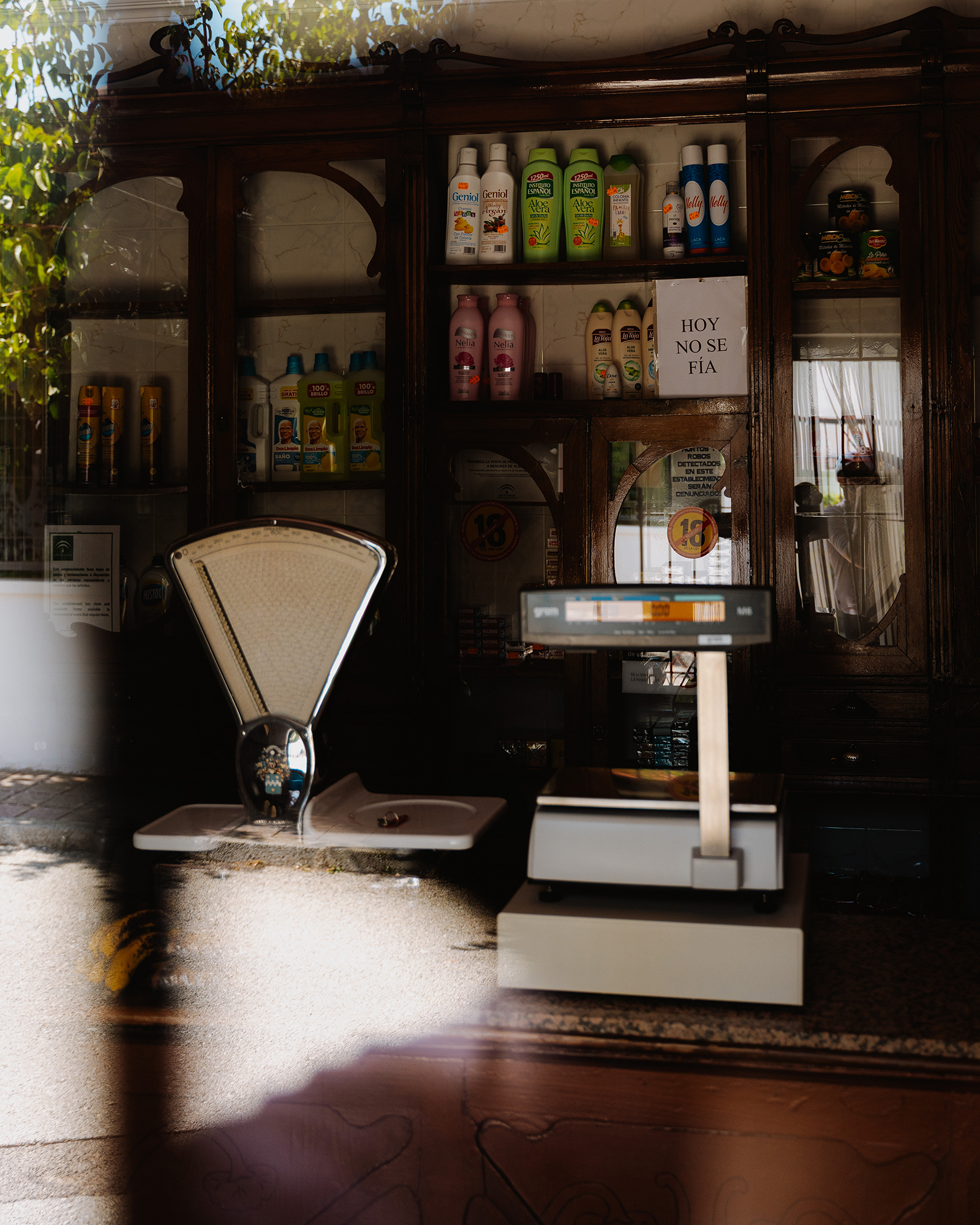
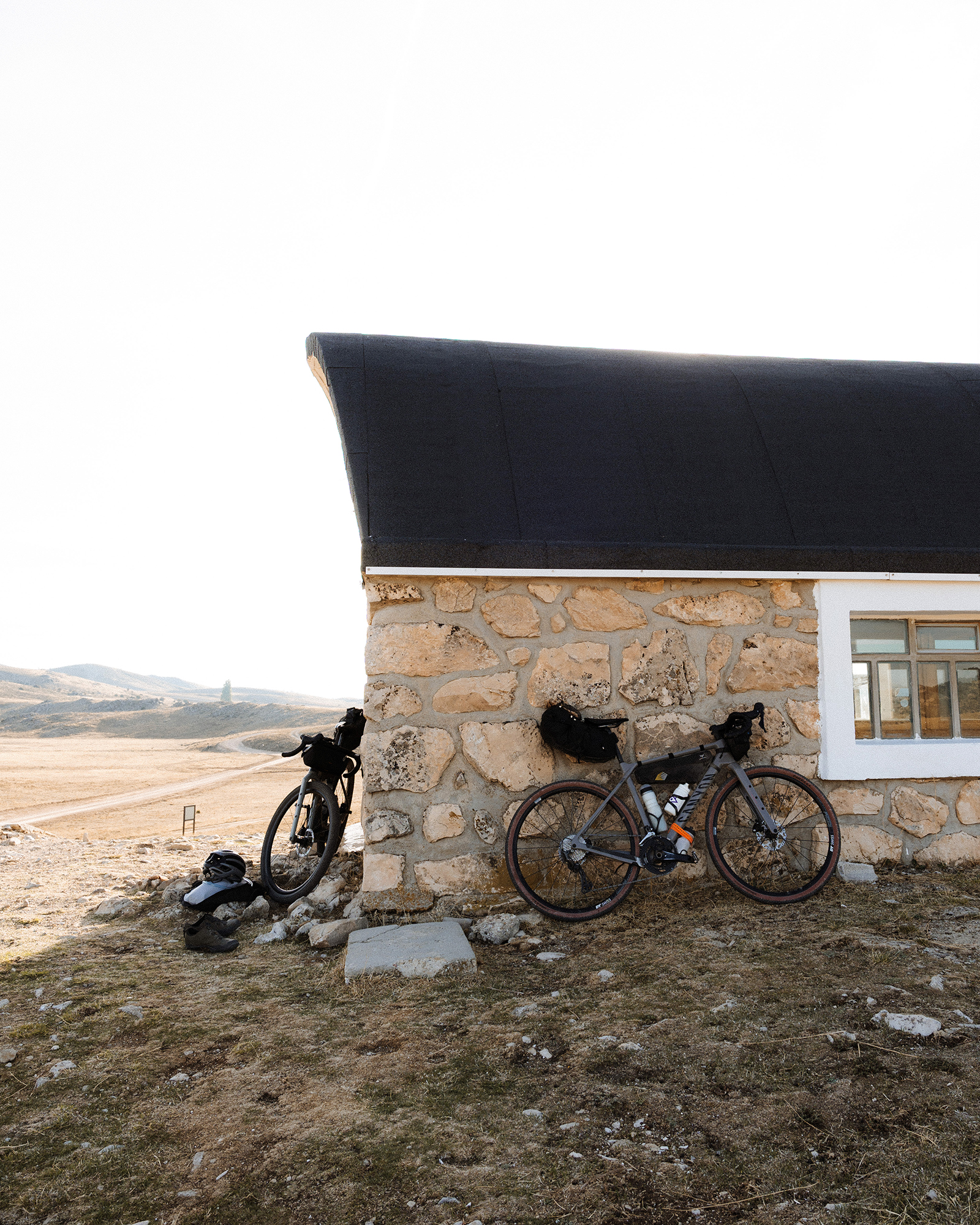
After several crossings and dry riverbeds, we reached the road leading to the now-famous village of Gorafe. With its distinctive local architecture, the town has gained fame in recent years thanks to Badlands, the country’s most iconic ultra-distance event, where Gorafe serves as a key resupply point. By noon, we were riding through its narrow streets, taking the chance to rest, grab a bite to eat, and stock up on supplies for dinner before heading out into the desert.
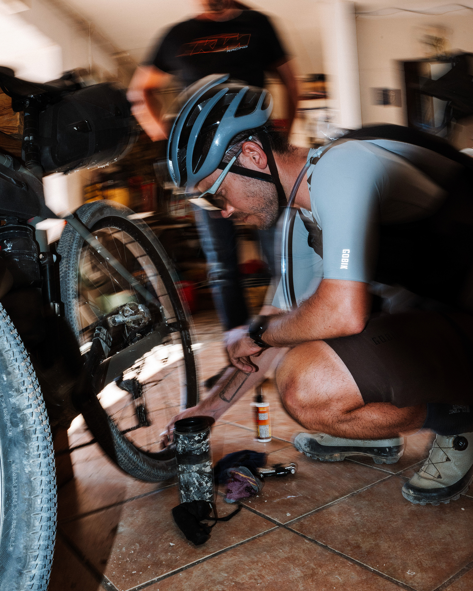
As we were getting ready to leave, we noticed one of our tires had lost pressure. The woman who’d served us at the bar saw us and mentioned a friend who, although he mostly worked on motorbikes, might have what we needed to fix it. We found his small workshop, managed to repair the puncture, topped up the sealant, and even bought a spare tube — just in case something went wrong out in the desert.
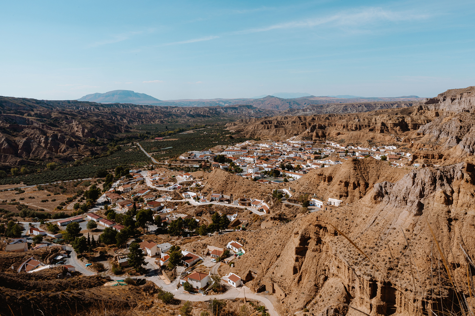
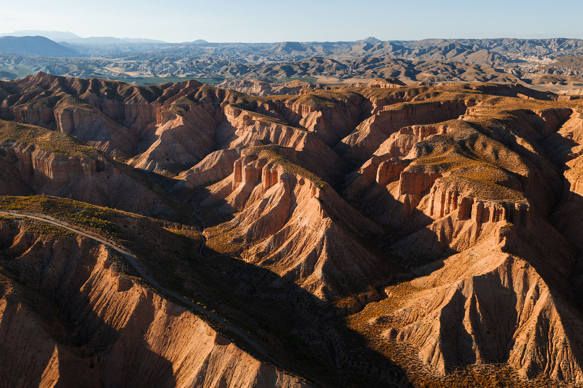
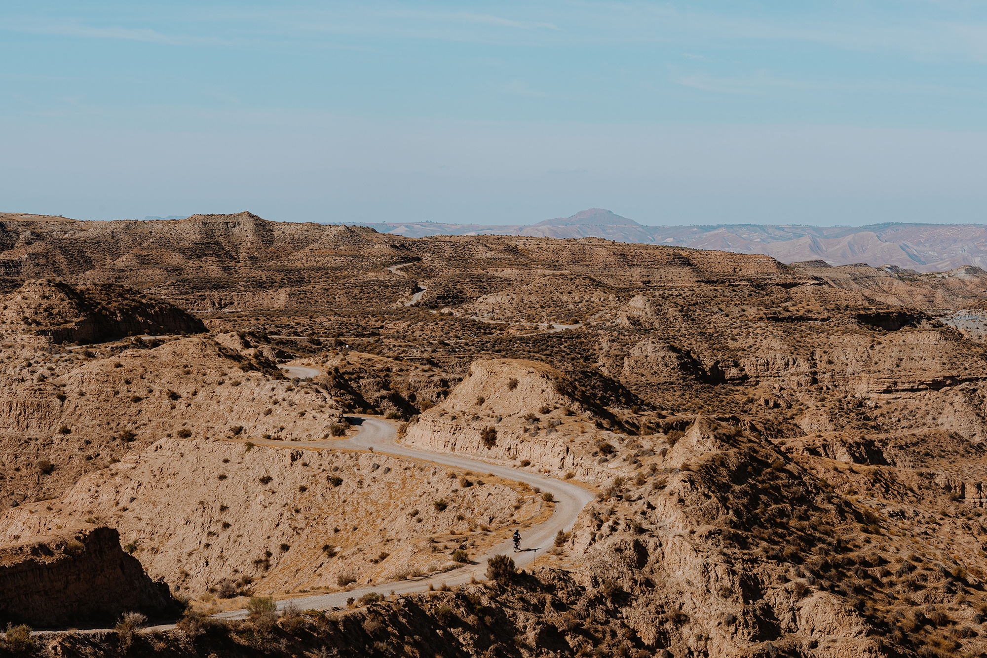
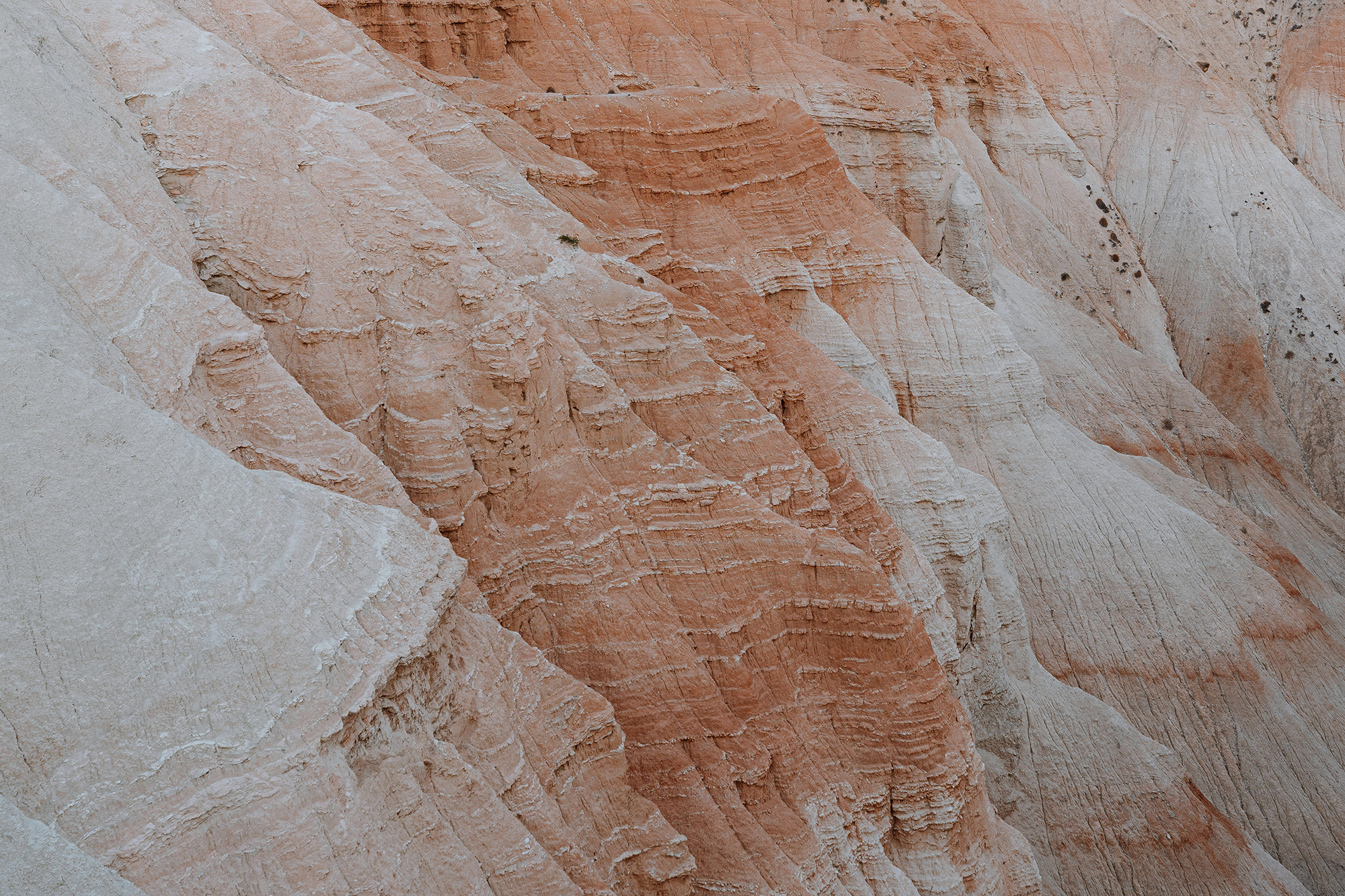
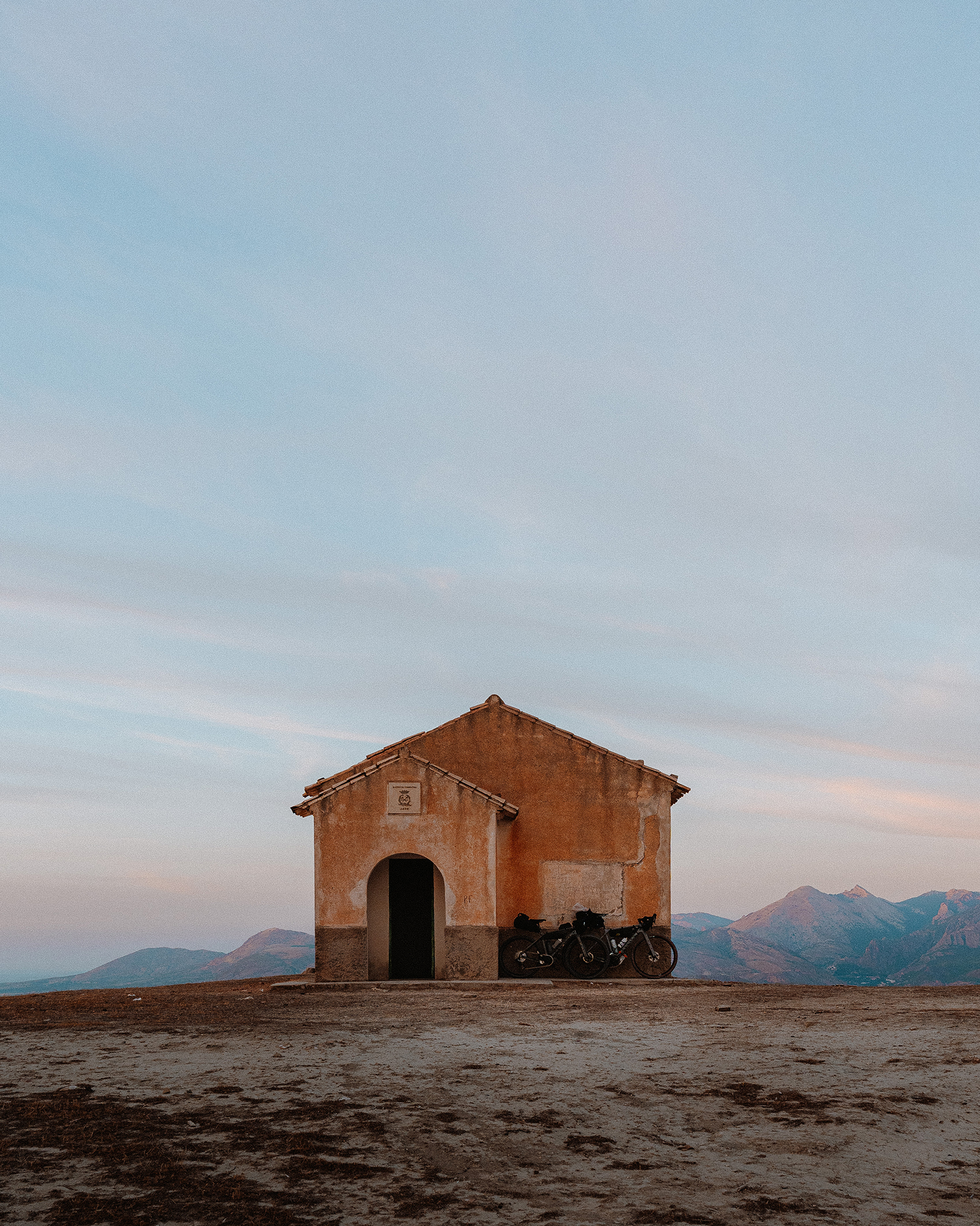
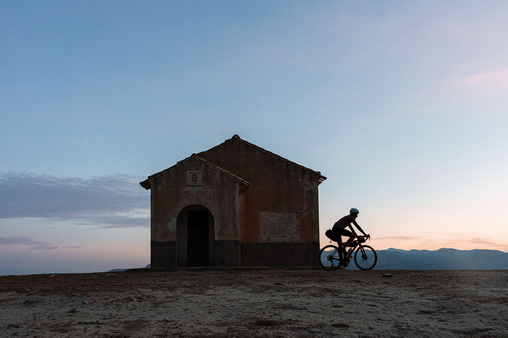
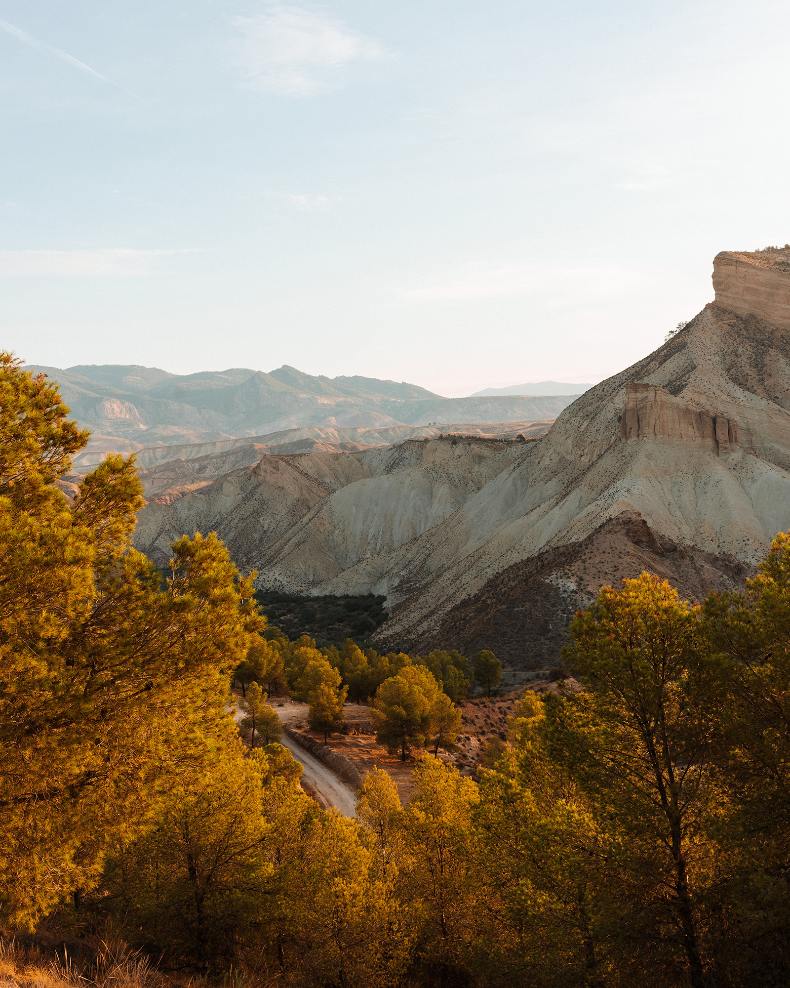
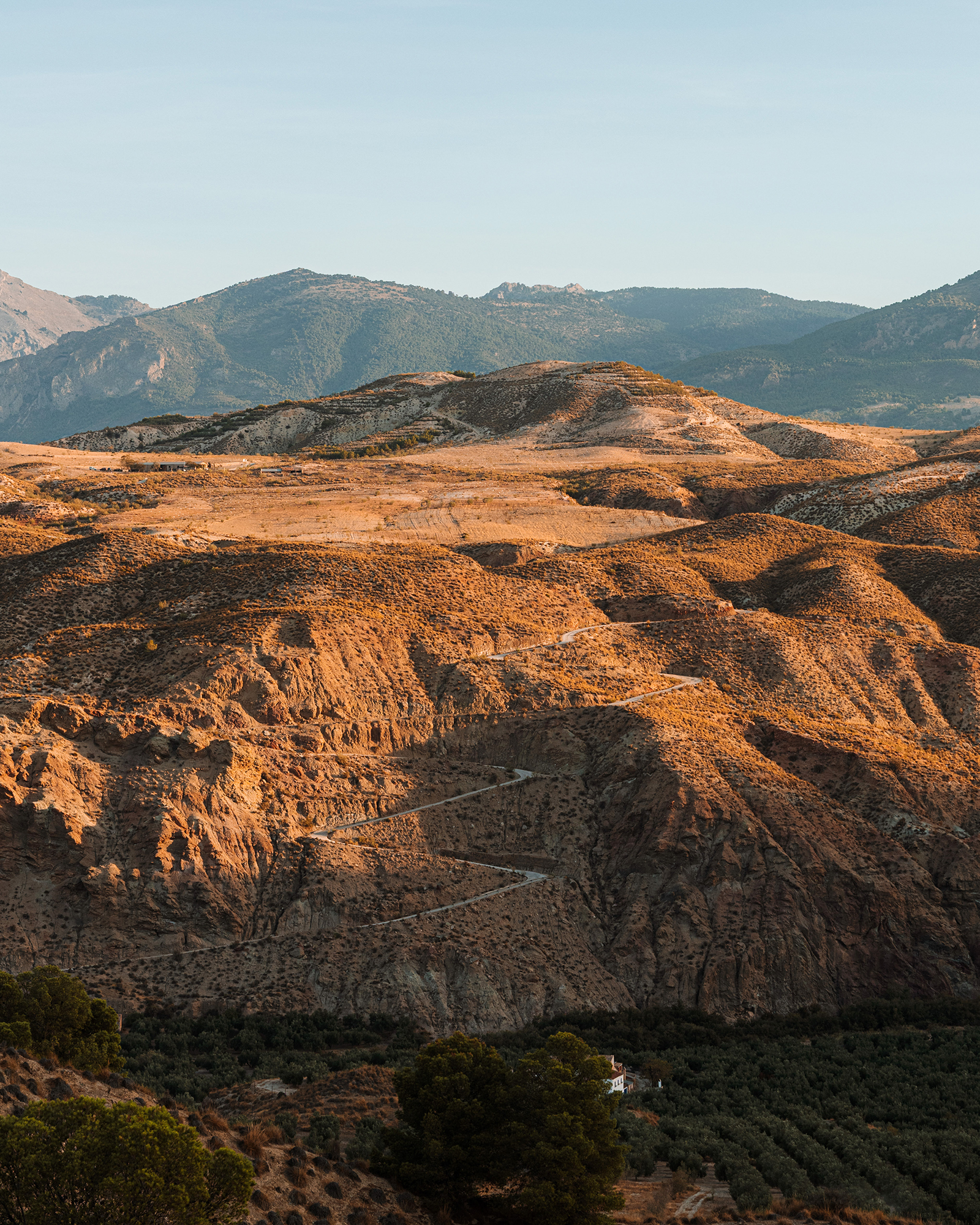
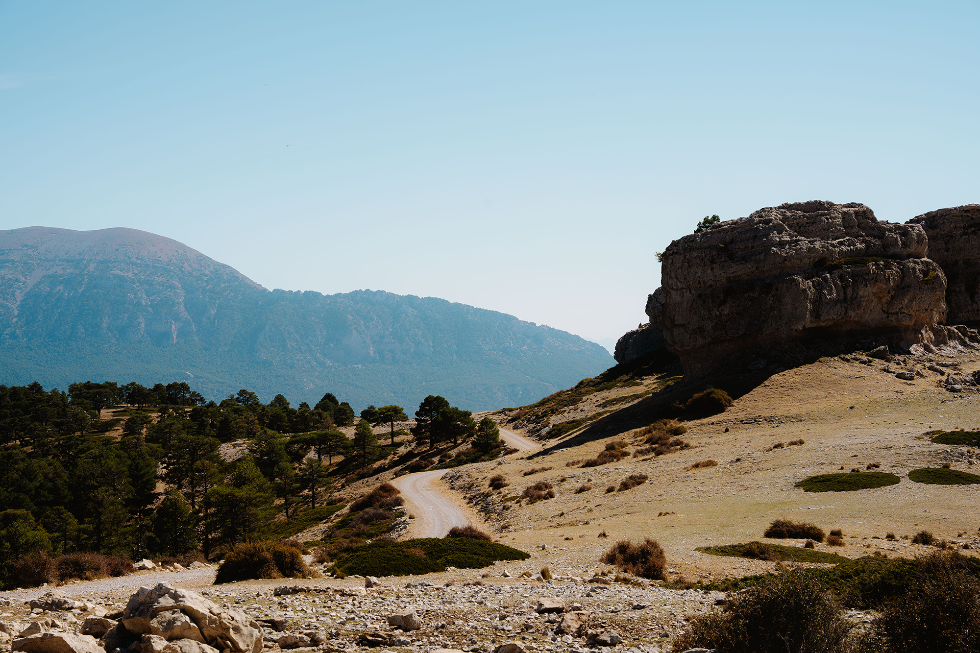
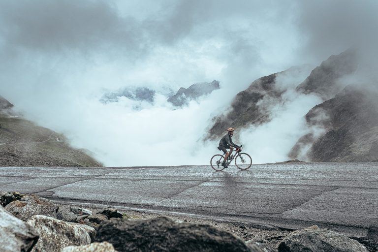
We left Gorafe on a steep stretch of rough concrete that made it clear we were entering one of the toughest sections of the trip: the Gorafe Desert. We followed well-maintained tracks with constant climbs and descents until we reached the viewpoint of Los Coloraos. The views of its dramatic red-earth canyons — carved over centuries by the region’s rare but torrential rains — made us stop for a moment and forget about the heat.
From there, we descended into a dry riverbed that, despite a few sandy sections, we could ride through without having to hike our bikes. We then linked up with a series of gravel tracks skirting farmland until we reached Cortijo Nuevo, a small hamlet of farmers and shepherds that marked our final stop for the day.
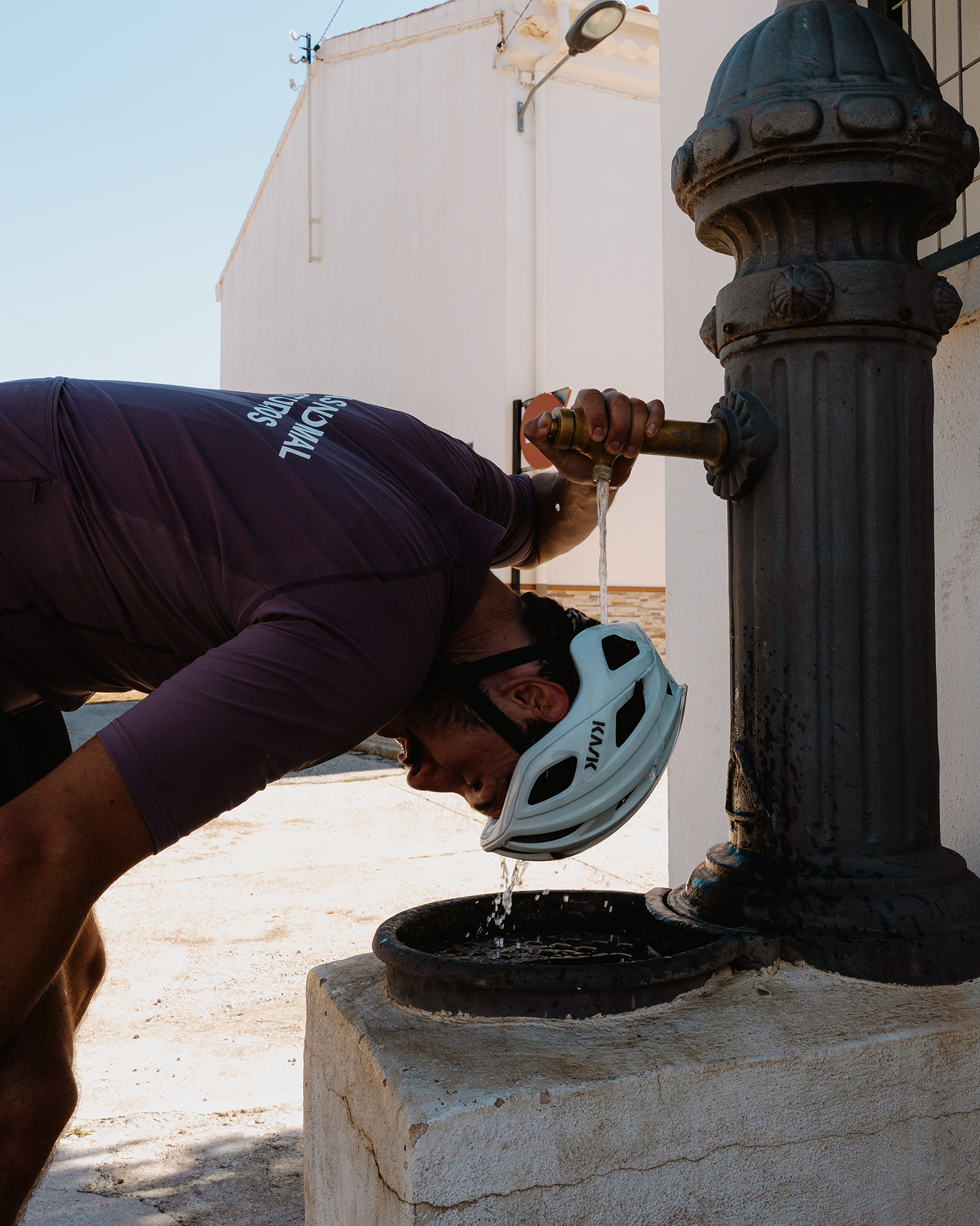
In need of water, we quickly realized that finding any in such an arid landscape wouldn’t be easy. We came across a shepherd with his flock and asked him if there was a fountain nearby. He told us the outdoor taps weren’t safe to drink from, but that some neighbors would be happy to help. That’s how we ended up meeting Antonio and his wife — a couple from Madrid who’d built their quiet escape here in the middle of the desert. What was just their backyard became, for us, a real oasis.
With our bottles refilled and after a pleasant chat with the couple, we kept going until we reached the Cañada de los Mojones refuge, where, with views of the sunset and the Cazorla mountains, we could finally relax, have dinner, and prepare for the night ahead.
The woodlands
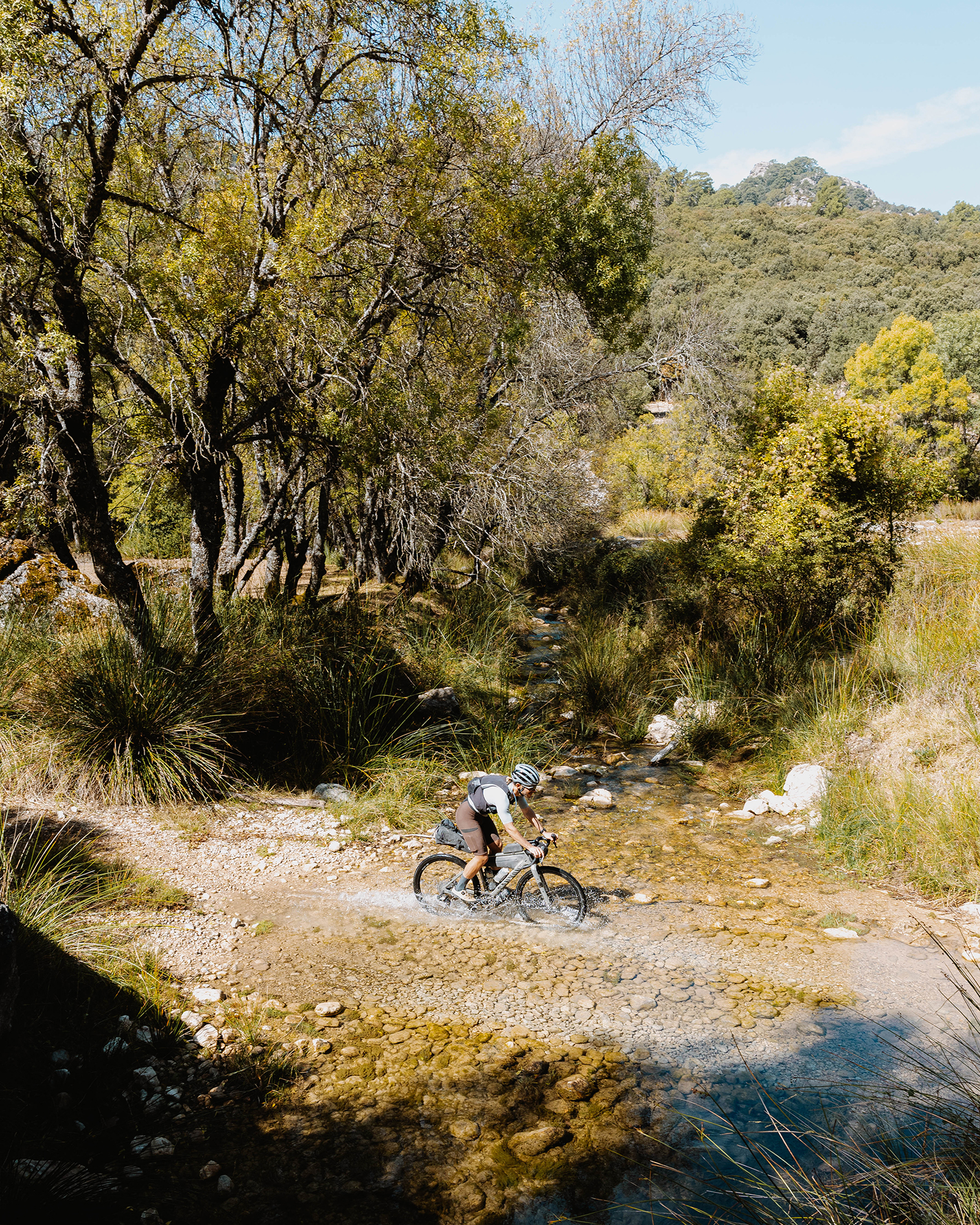
With the first light of dawn, we packed up our gear, prepped the bikes, and set off north toward the Sierra de Cazorla. After descending a smooth forest track, we got to a river — and right after that came the first challenge of the day: a short, one-kilometer climb on rough concrete with gradients reaching 24%. From there, we reached the road to Pozo Alcón, the gateway to the mountains.
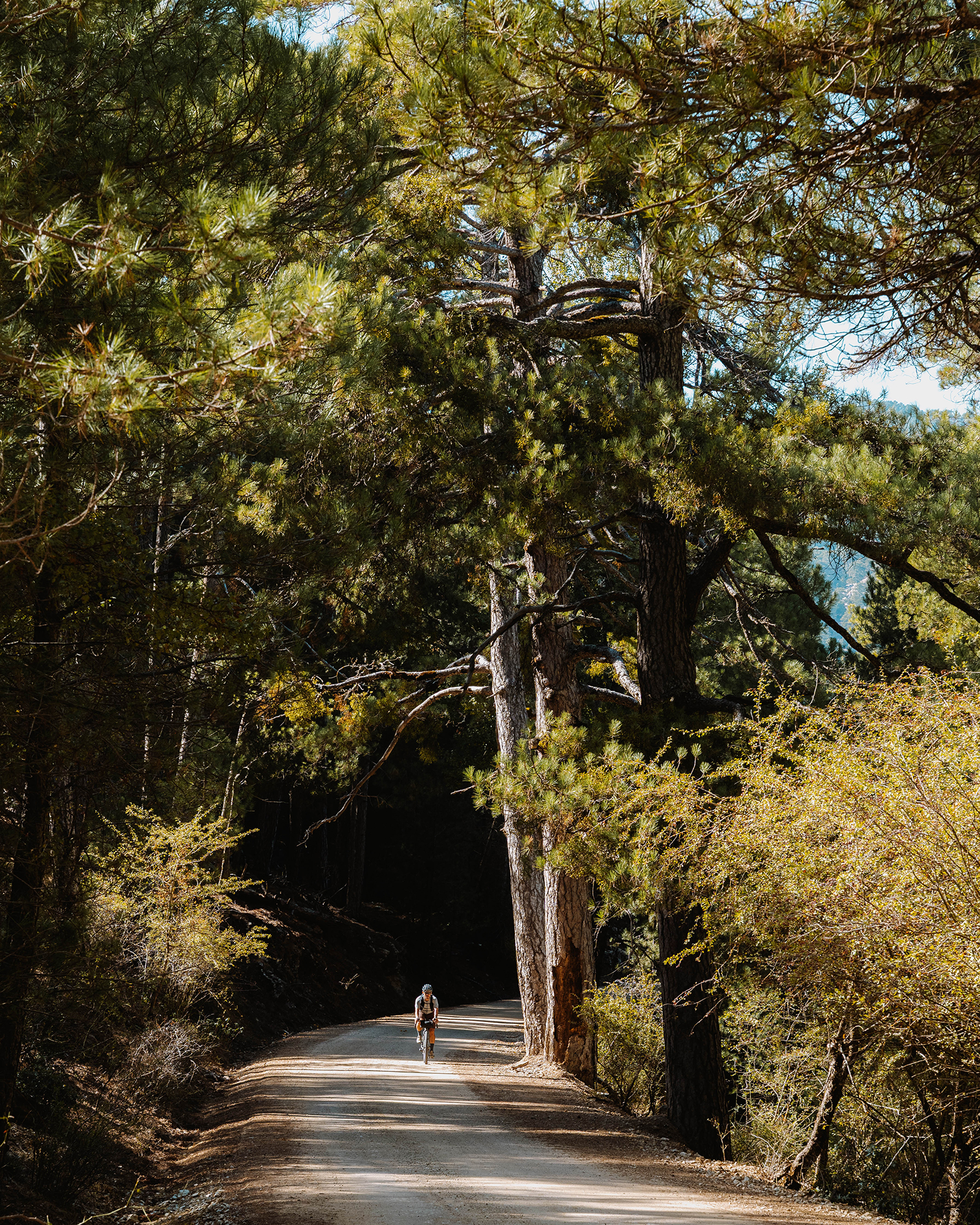
After a well-deserved breakfast stop in town, we entered the vast pine forests of the Sierras de Cazorla, Segura y Las Villas Natural Park — the largest protected area in Spain and the second largest in Europe. It’s also the most extensive continuous woodland in the country.
After spending all of the previous day and part of the morning riding through arid, desert-like terrain, reaching those dense pine forests felt like stepping into another world. Riding under their shade on perfectly maintained forest tracks was a refreshing change that reignited our energy and motivation to keep exploring and discovering new paths.
We spent more than 40 kilometers riding through the forest along dirt roads and some technical singletracks. Finding food or water wasn’t an issue — there were still a few mountain lodges and small bars open, run by locals who live off the rural tourism that floods the area in summer and fades as autumn settles in.
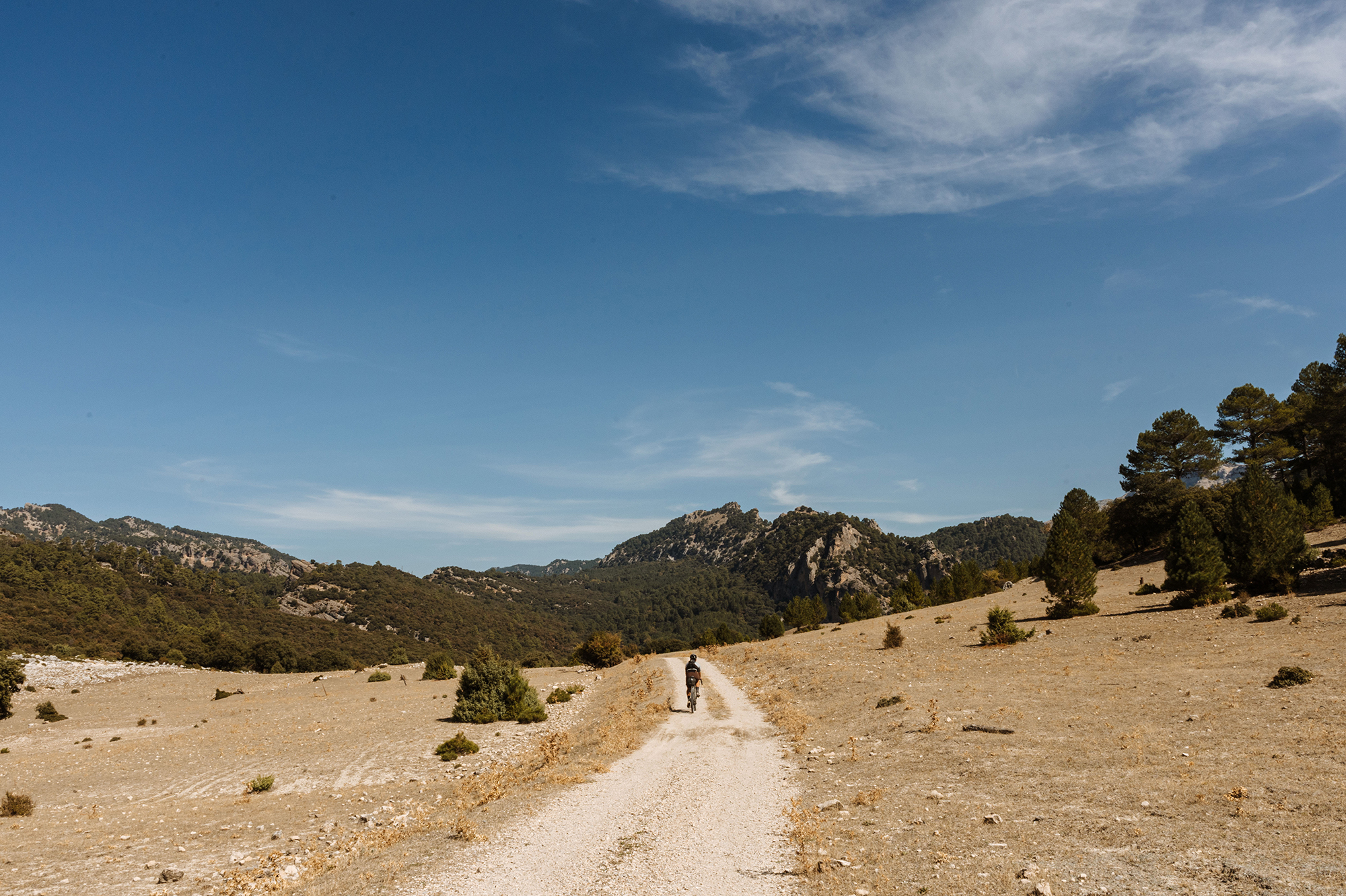
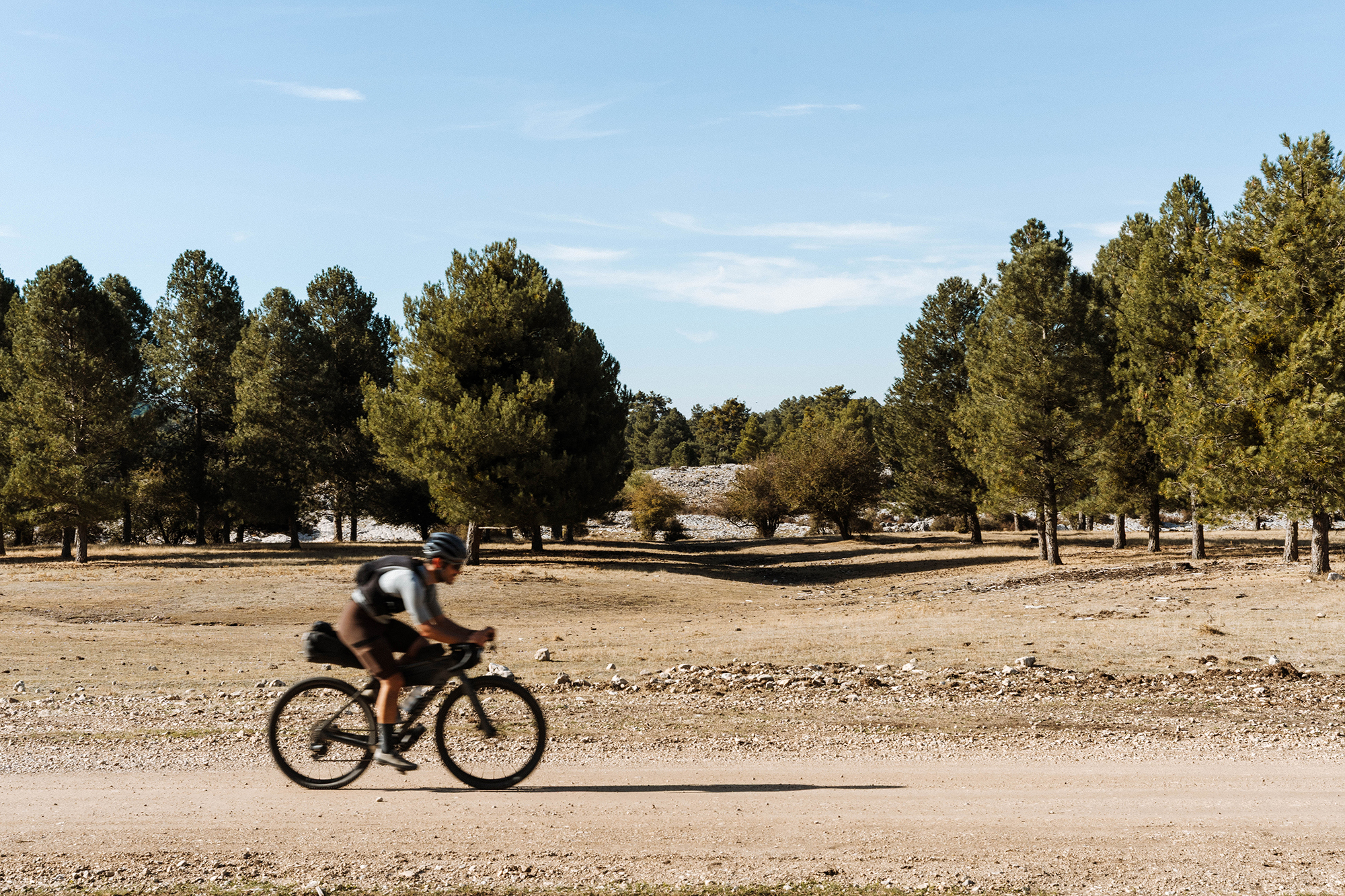
But as we gained elevation, the landscape started to transform again. The forest thinned out, the mountains became lower, and it had already been a while since we’d crossed the last river. There was no doubt about it — we had reached the high moorlands of Campos de Hernán Perea.
The Moorlands
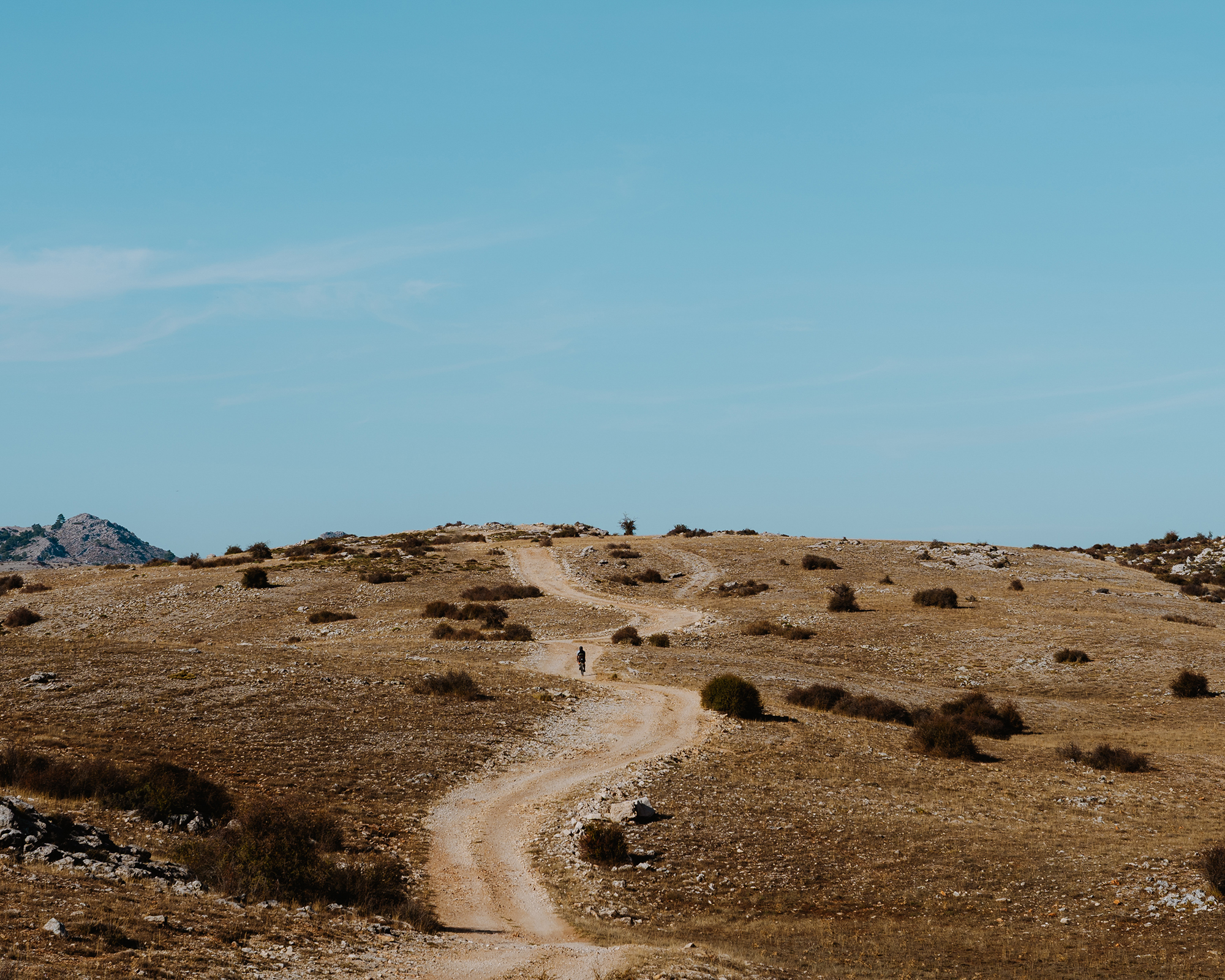
At an average altitude of 1,697 meters and spanning nearly 10,000 hectares, the Campos de Hernán Perea form the largest high plateau in Spain — a vast moorland surrounded by mountains, rivers, and reservoirs, where winter temperatures can drop to -25°C and the horizon seems endless.
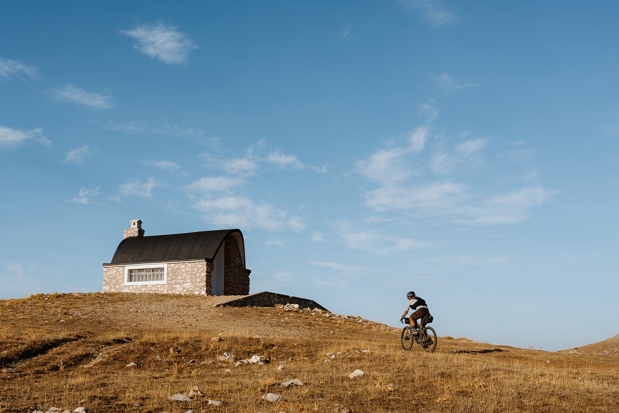
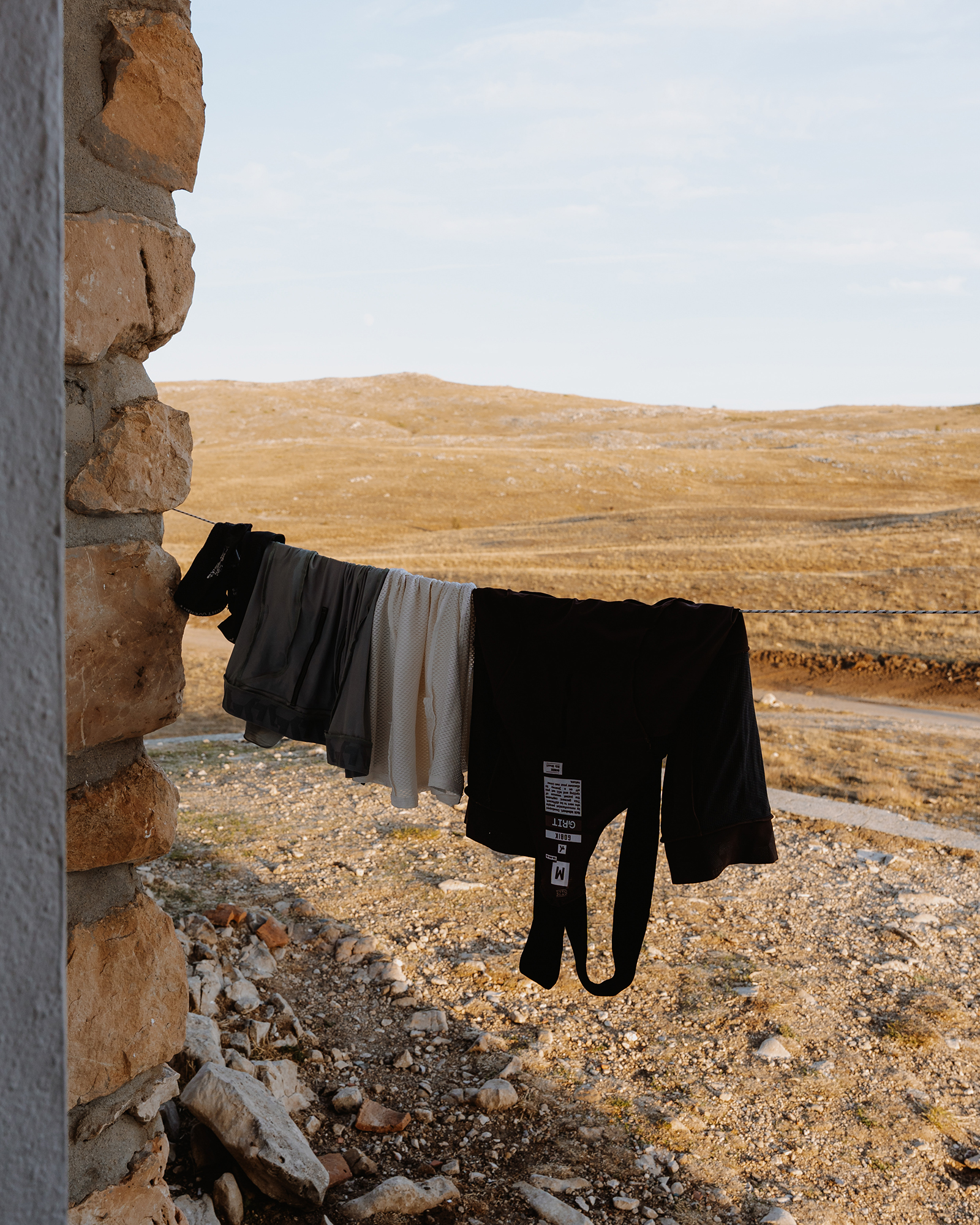
This remote landscape features a dense network of gravel tracks, most of them in good condition. Scattered along the way are several refuges where you can spend the night, seek shelter from the weather, or simply take a break. One of them, the Campo del Espino refuge, marked the end of our second stage. We stopped there to rest, check that our bikes were still in prime condition, and have dinner with the food we’d been carrying since Pozo Alcón, knowing there wouldn’t be many chances to resupply ahead.
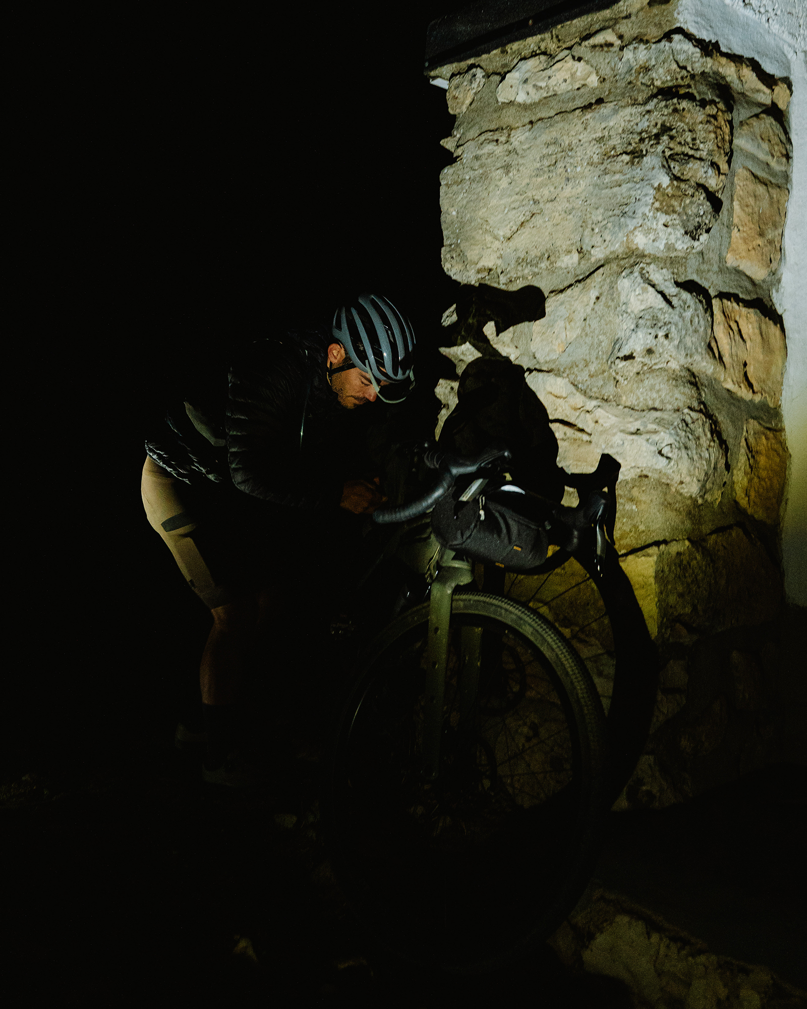
The next morning, we set off early, descending in the dark to Pontones, the nearest village, where we planned to have breakfast. The downhill was freezing — around 4°C — and we had to wear every warm layer we hadn’t needed in the previous days. Along the way, we passed the source of the Segura River, and by the time we reached the village, the first open bar we found felt like heaven. A hot coffee brought us back to life.
Leaving Pontones, we faced a six-kilometer climb on tarmac. The gentle gradient helped us warm up as the sun began to rise. From the summit, a long and flowing descent took us toward La Matea, passing through Santiago de la Espada, one of the main villages in the Santiago-Pontones municipality.
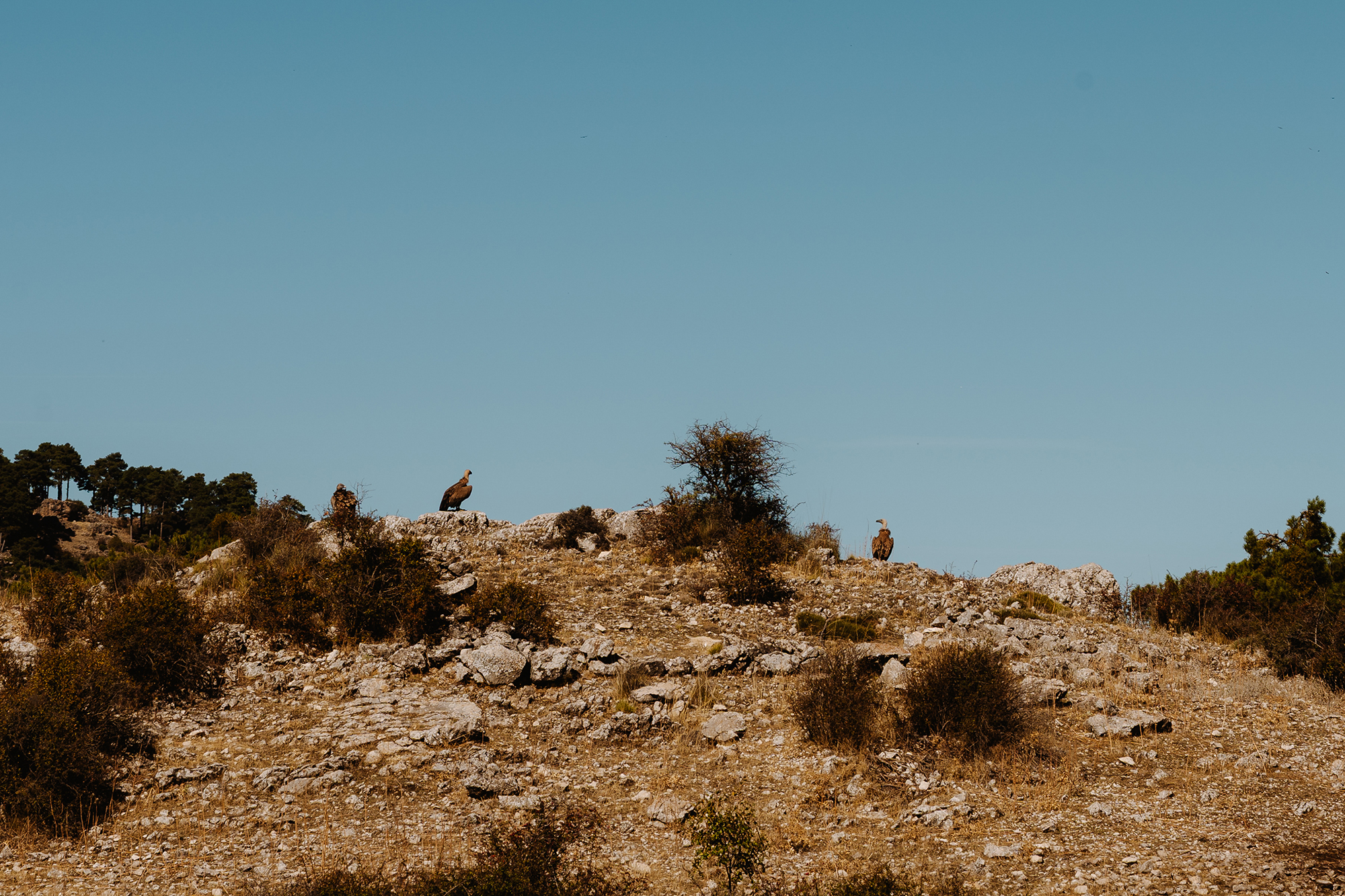
The small towns of La Matea and Don Domingo, a few kilometers further on, marked the start of one of the toughest segments of our trip — a 25-kilometer stretch that concatenated different climbs. It began on smooth surfaces and soon turned into rough gravel and narrow trails. The terrain became steeper and more technical until, over the final three kilometers, we had to dismount and push the bikes up broken paths due to the rain and vegetation. Exhausted by the heat, we suddenly noticed a group of vultures feeding on a carcass just off the trail — a clear reminder that this was no place to give up.
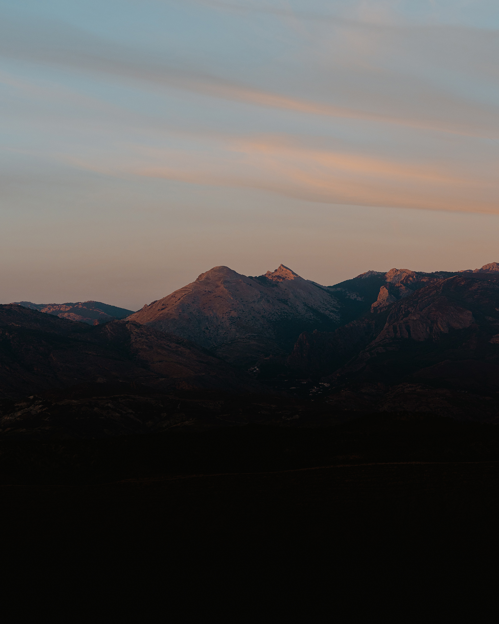
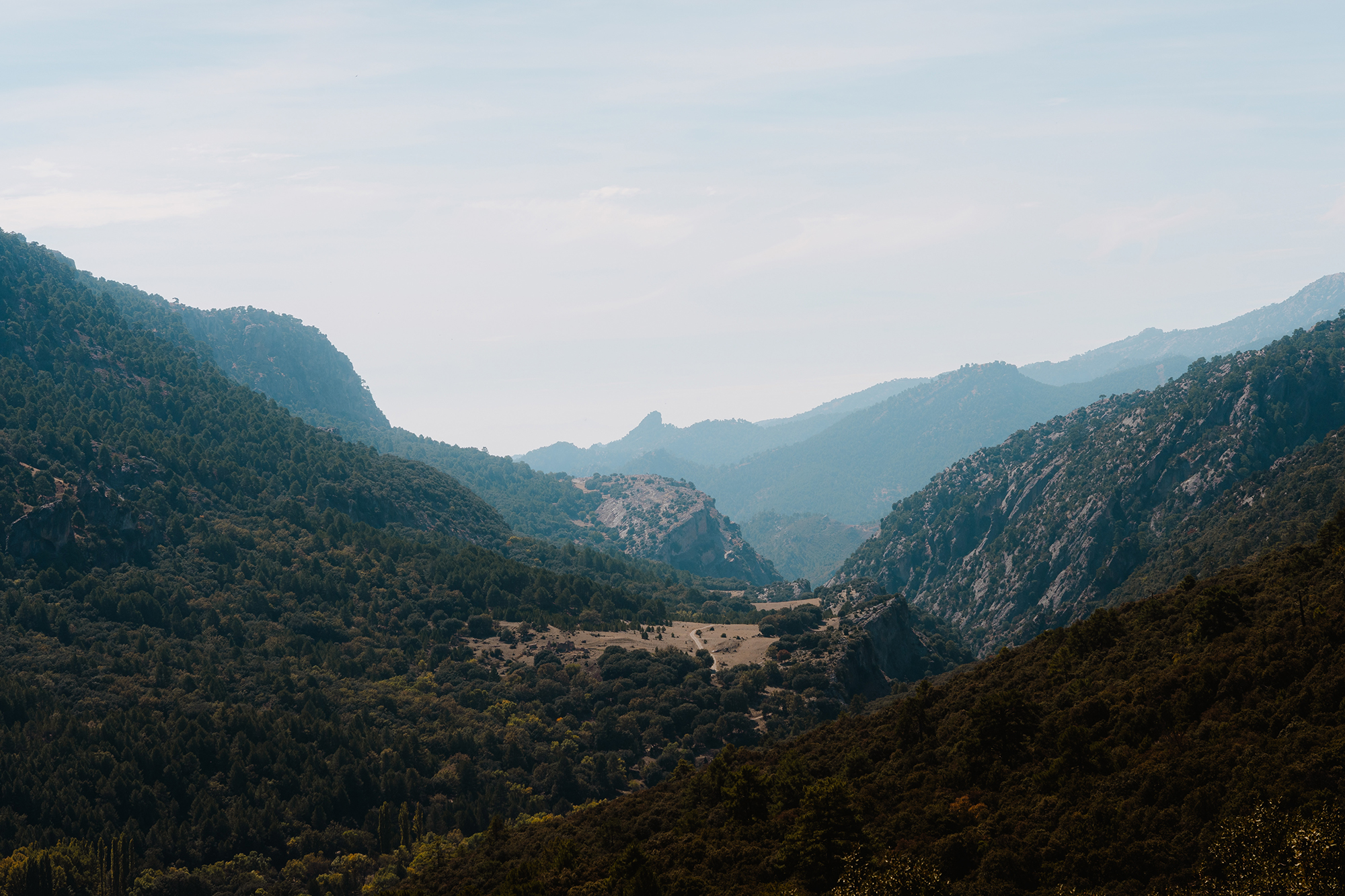
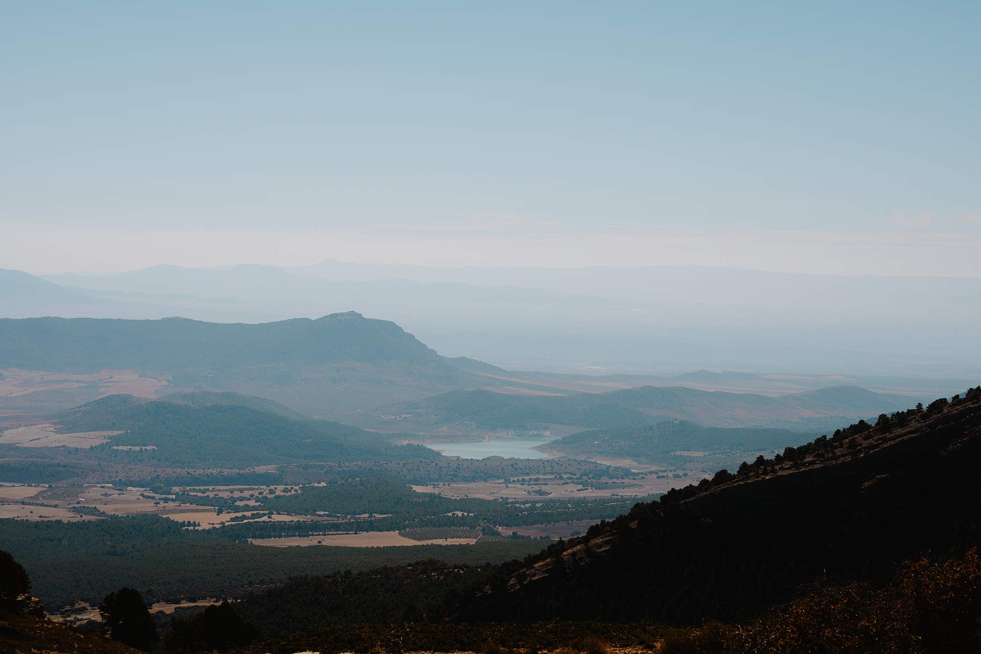
When we finally reached the top and thought the hard part was behind us, we were met with a steep, fast descent toward the San Clemente Reservoir that demanded just as much focus. The upper section was on rough concrete before turning into loose, rocky tracks that kept our arms tense and our eyes fixed on the line ahead. Still, whenever the gradient eased, we could lift our gaze for a moment and take in the stunning view of the Sierra de la Sagra, standing proud at 2,383 meters — a landmark for the local mountaineers.
At the bottom of the descent, we rolled past a small roadside bar and had no choice but to stop — partly to recover, partly to shake off the tension from all the vibrations that, due to our unsuspended gravel bikes, our arms had absorbed.
The final 16 kilometers back to Castril were smooth asphalt, hardly any traffic, and the kind of easy riding that lets you talk, relive what you’ve just experienced, and — inevitably — start thinking about the next adventure.