


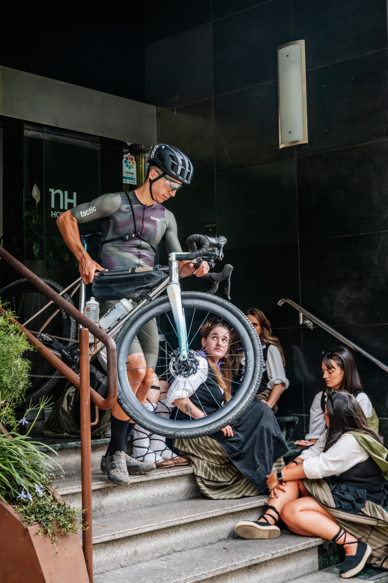
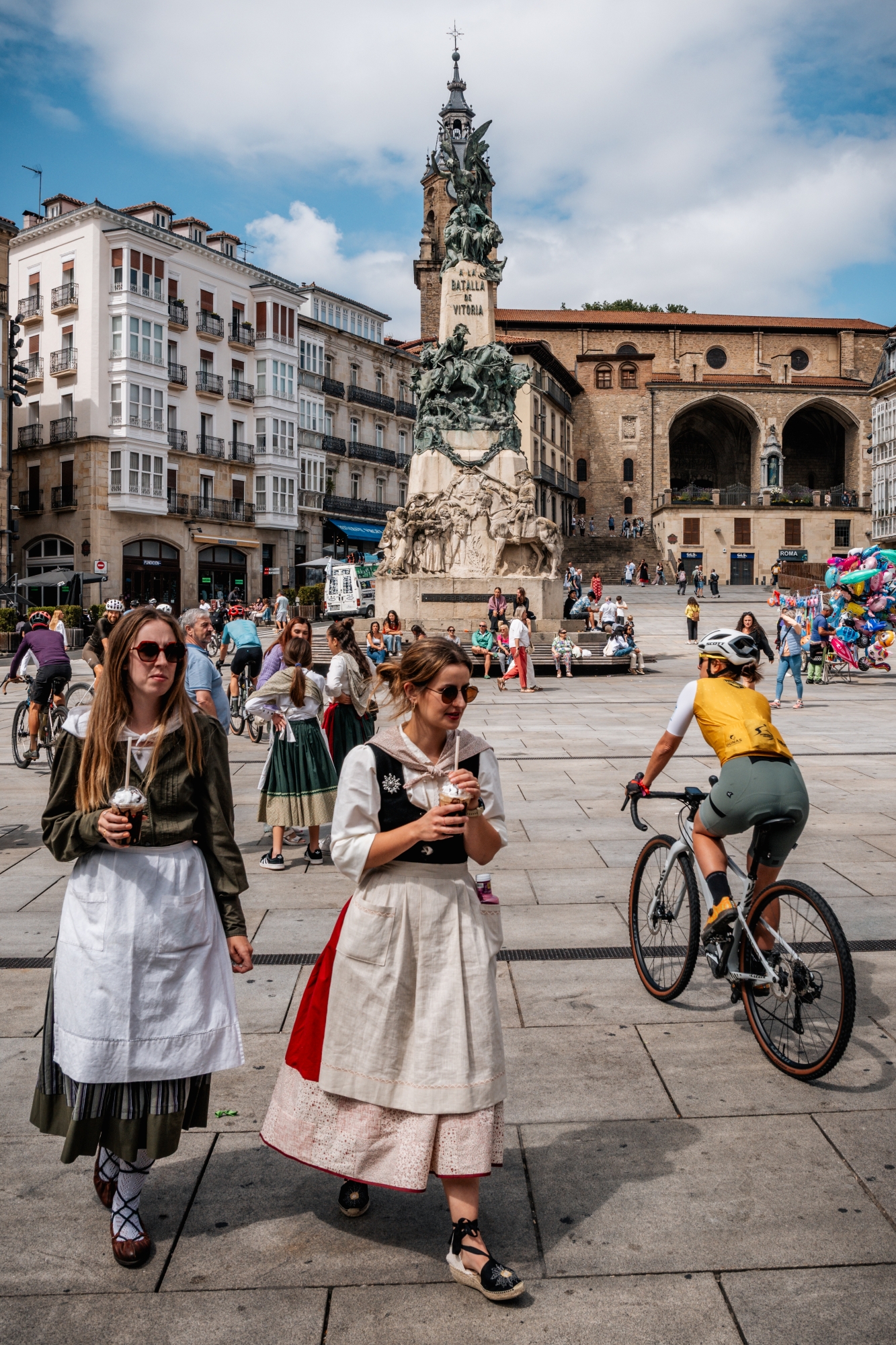
Day 0: A city in celebration
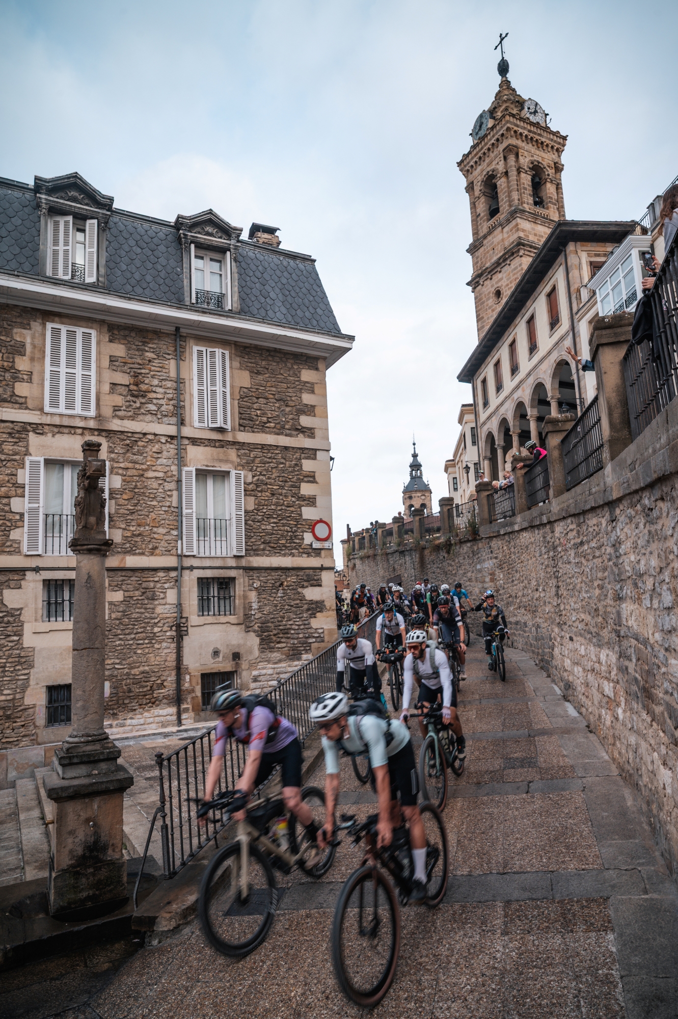
We arrived in Vitoria two days before the start, early enough to avoid rushing our bike prep and to have a buffer in case we were missing anything. That afternoon, a social ride departed from the city’s main square. It was a bank holiday, and the vibes were exceptional.
The streets were alive with celebration for Día del Blusa, and even if locals were dressed up for the occasion, we stood out. They were curious. When we explained what Basajaun was, the disbelief on their faces reminded us that what we were about to do wasn’t normal. And that was exactly why we were here.
Day 1: Into the green
310.9 km | +6,681 m | 15 h 28 min 42 sec
The start line buzzed with anticipation. Close to 200 riders stood shoulder to shoulder, some adjusting gear, others laughing nervously. Friends and cycling enthusiasts were also there. Someone spotted Joseba Beloki, a multiple podium finisher at the Tour de France “Come on Joseba, join us,” he encouraged him. “No, no, what you are about to do is insane,” replied the former pro cyclist. The fact that someone like him said that puts the magnitude of the challenge into perspective.
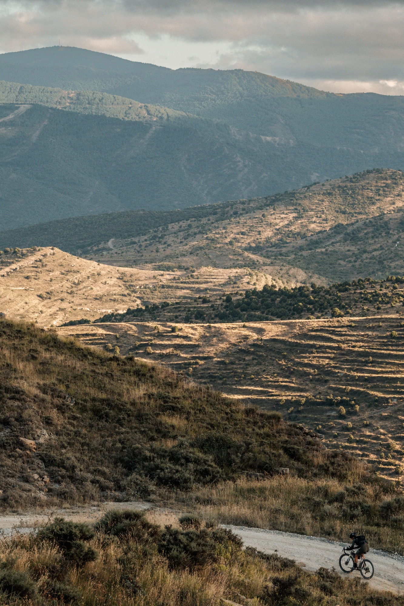
Basajaun is not just another ultracycling event. Organized by the team at Transibérica, it stretches 860 kilometers across Northern Spain, with 16,000 meters of elevation gain. But the raw numbers tell only part of the story. What defines this route is the terrain: 60% off-road, from flowing gravel to loose sand, rock gardens, dry creeks, and surfaces that redefine what “rideable” means. Each kilometer earns your respect.
At 8:00 AM sharp on June 27th, we rolled out. The first kilometers were deceptively pleasant. Smooth gravel lulled us into false hope. “If only it stayed like this,” we joked. But we knew better.
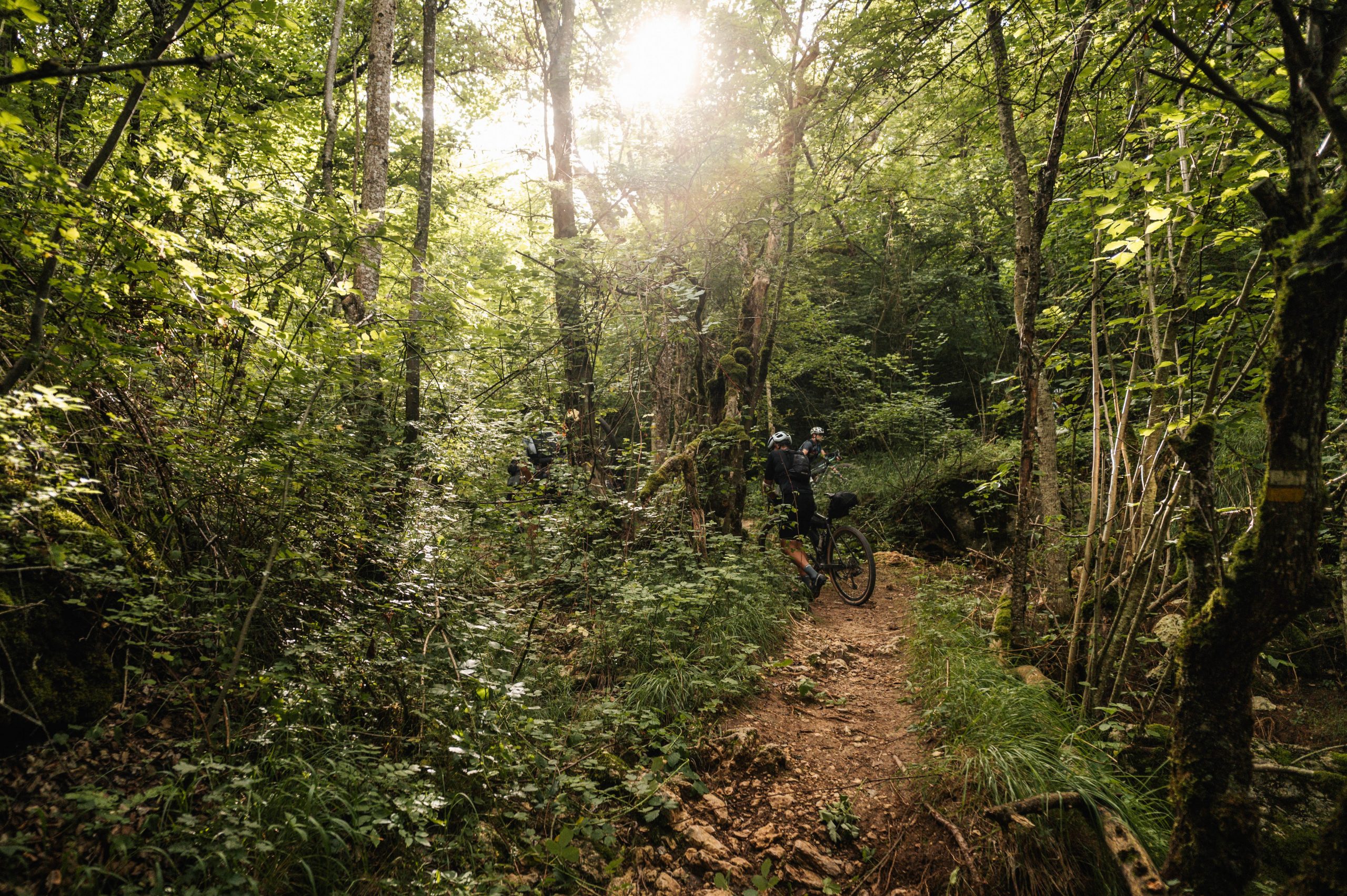
Soon we were in the lushness of the Urbasa mountain range, where everything felt oversaturated with green, like nature itself had been edited with a high-contrast filter. Humidity hung thick in the air. True to its name, Urbasa — “wet forest” in Basque — lived up to expectations.
A short hike-a-bike through a creek brought us to the plateau at 1,000 meters above sea level. We rode high above the valleys for hours, surrounded by fog, grazing cattle, and wild horses. It felt like pedaling through a fable.
The road climb from Lizarraga brought us to the Aralar Natural Park. The terrain hardened: mixed surfaces, dry riverbeds, and long stretches of hike-a-bike slowed our progress. But there was a strange peace in the rhythm. At 10 hours and roughly 200 km in, we were deep in the Irati Forest. The light rain — or “sirimiri” — added another layer of atmosphere.
It was still difficult to estimate how many kilometers we could do before needing to sleep, so given that we had no booking, we just continued and let the legs decide.
At some point, we met Erik van Holland from the DirtyDropbars collective, and after engaging on several topics, the question was raised: “Do you have plans for tonight?” In another context, that would mean something different, but in this case, we were both looking for a warm place to sleep for a couple of hours. He had taken part in the previous edition of Basajaun, so he was aware of a couple of hotels. It was late, but we decided to give it a shot. We called, and they told us that check-in was until 11 PM. ‘Do you think we can make it?’. There were two hours left to cover 60 km, so Erik immediately disagreed with his head gestures. After explaining our situation to the hotel, fortunately, they sent the instructions to access the building beyond closing time.
We were tired, but knowing that there was a warm shower and a comfortable bed waiting for us gave us the energy to tackle the big climb from Orbaizeta, arriving at the hotel in Ochagavia just before 1 AM.
Day 2: Semi-desert and semi-sleep
322.3 km | +5,360 m | 17 h 22 min 04 sec
After three hours of sleep, we set off at 5 AM into the cold. Not long after, we overtook one rider who had pushed through the night. Several people had overtaken us, but those hours of sleep would be crucial in the long term.
We rode past bivy spots we had marked on the map in previous days as potential places to sleep in case of not finding a hotel: a fronton, a barn, even a public bench. We were really looking forward to sunrise and breakfast, hoping that the combination of exposure to morning light and a dose of caffeine would give us a needed moral boost.
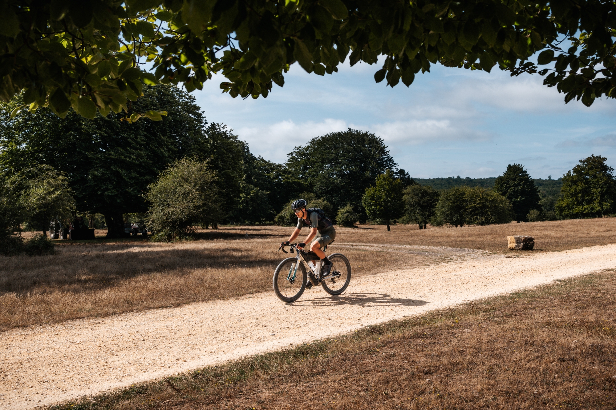
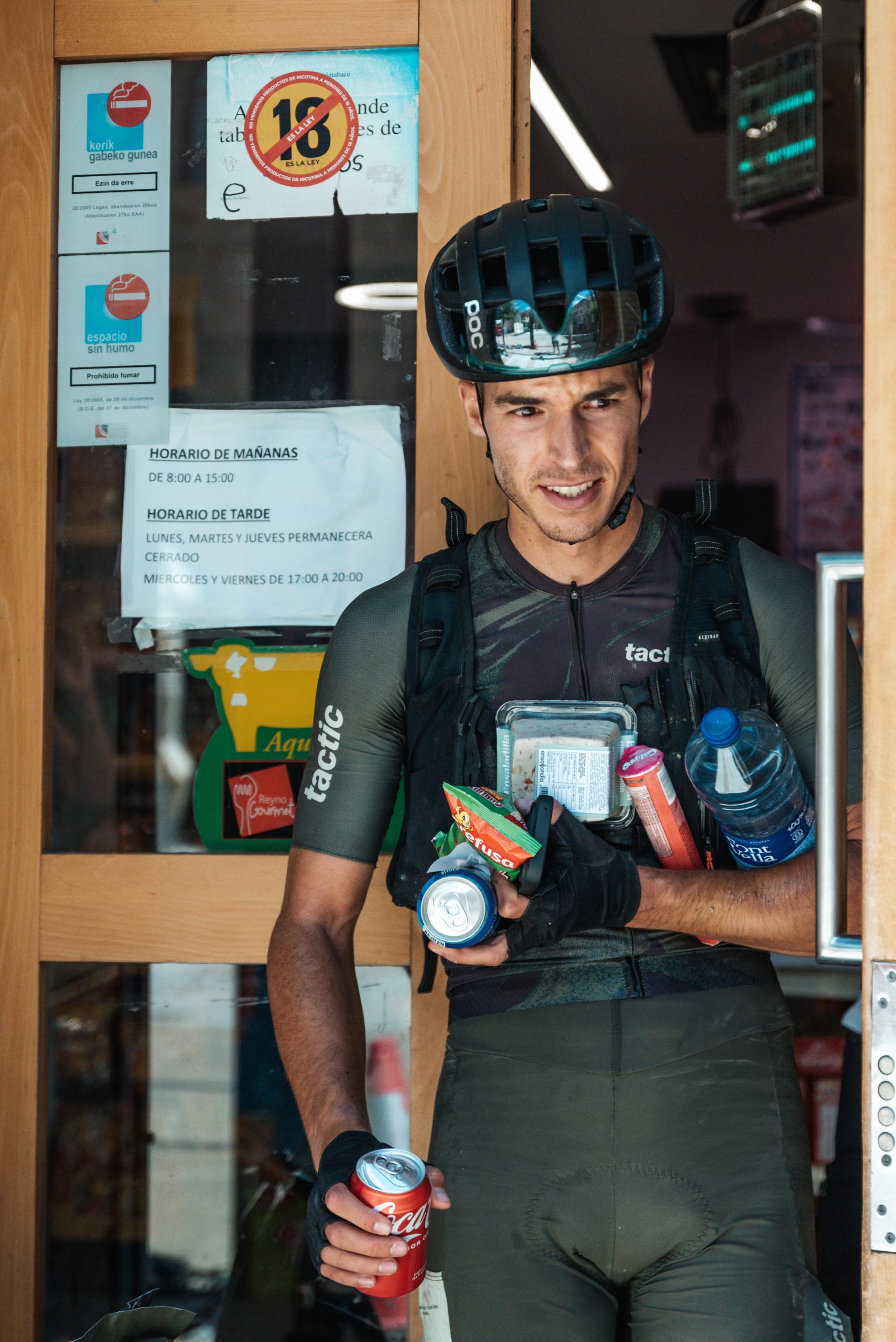
The approach to Bardenas Reales was fast and flowing. We passed Foz de Lumbier, which we then realized we had already visited with our family years ago. There, vultures soared above us. A quick gas station stop before Sangüesa, where a fellow participant told us how tough it was to ride through the night. We didn’t want to make him jealous, so we avoided mentioning the warm shower and comfortable bed we enjoyed. Got some food, and onward we went.
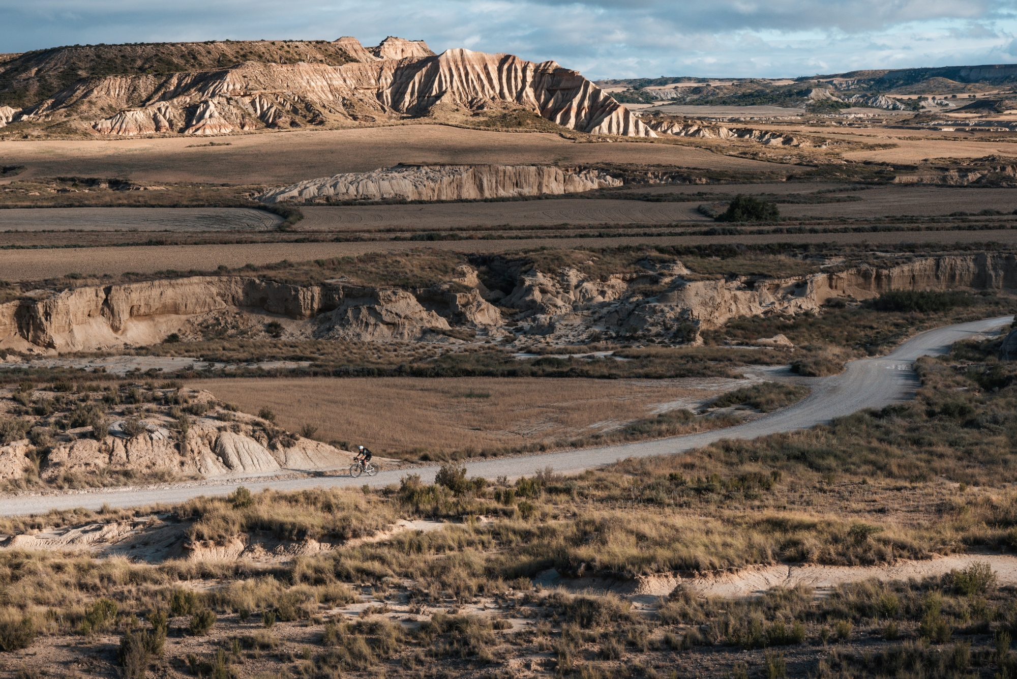
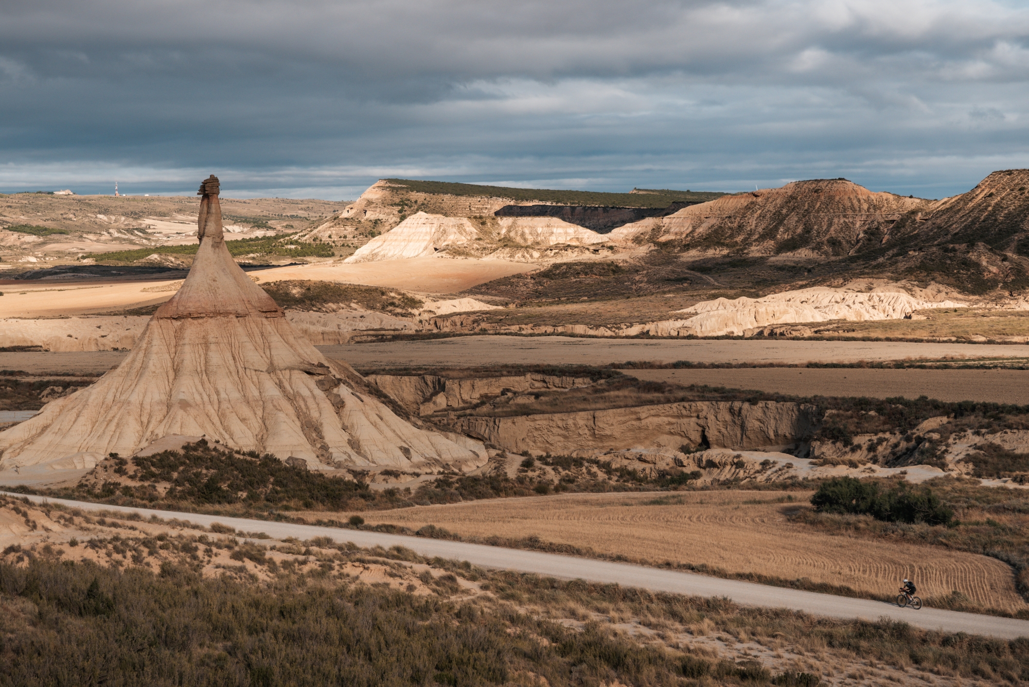
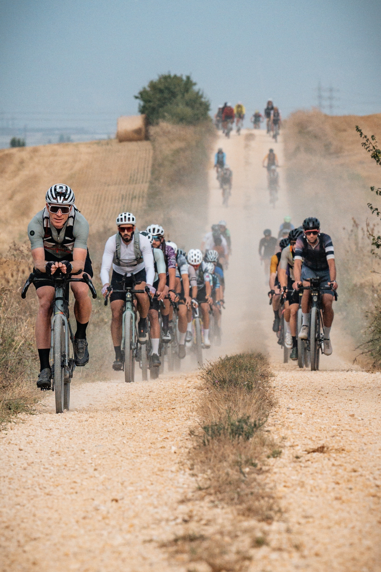
Then, finally, Bardenas. A semi-desert of clay, chalk, and sandstone sculpted by erosion. The wind that had once pushed us now turned against us. Erik, better equipped for rough terrain with his front suspension, surged ahead.
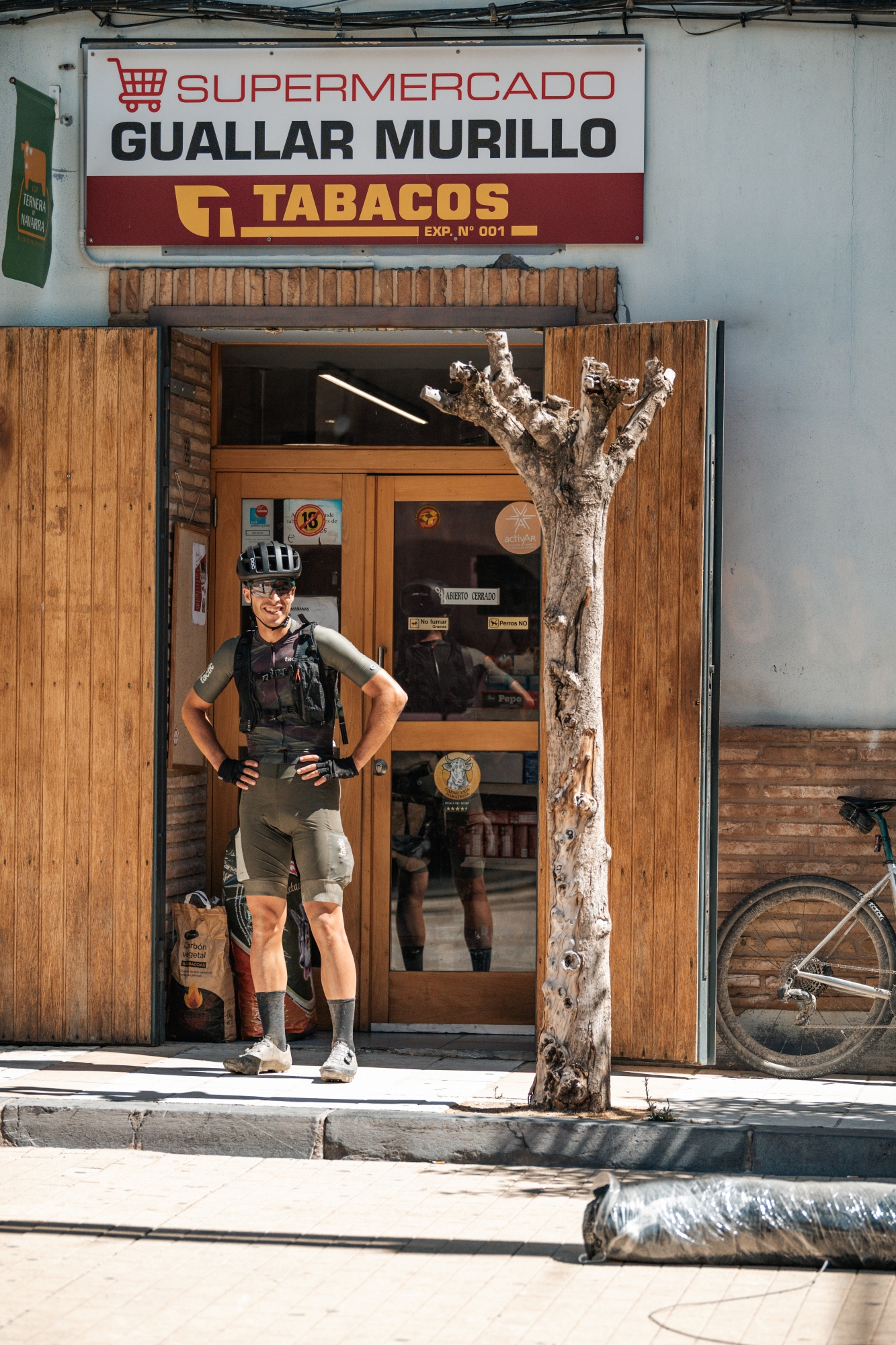
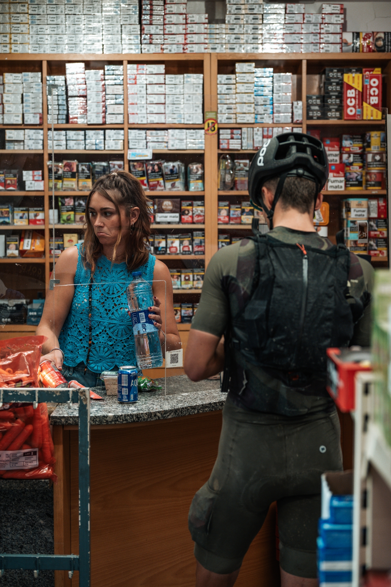
Crossing Bardenas drained us. The scenery was unforgettable, but the effort was immense. We refueled in a small grocery store and proceeded with the mentally hardest stretch yet: a brutal headwind along the Lodosa canal.
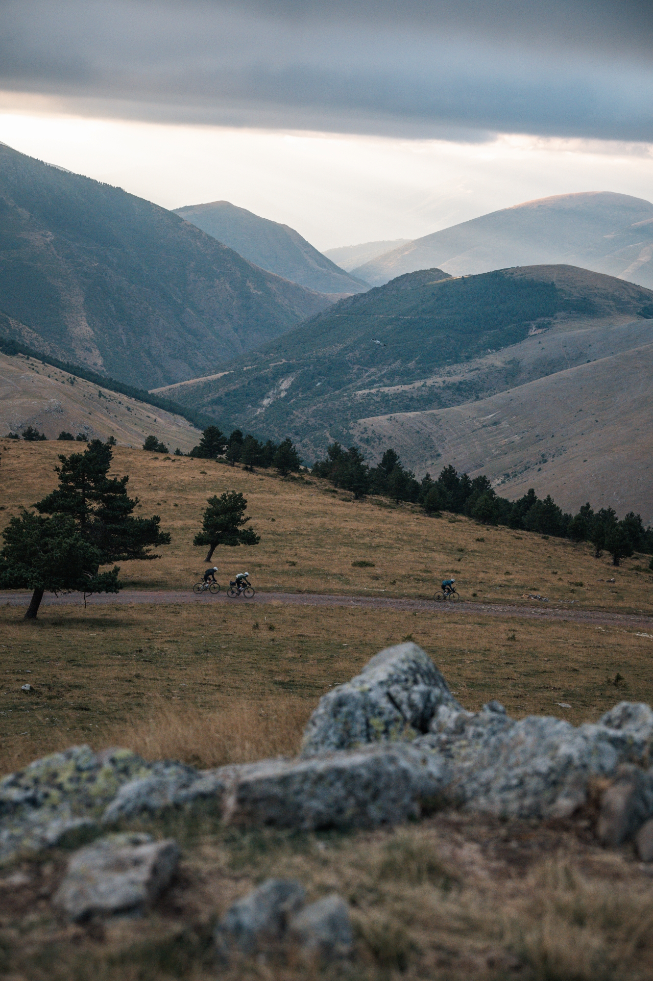
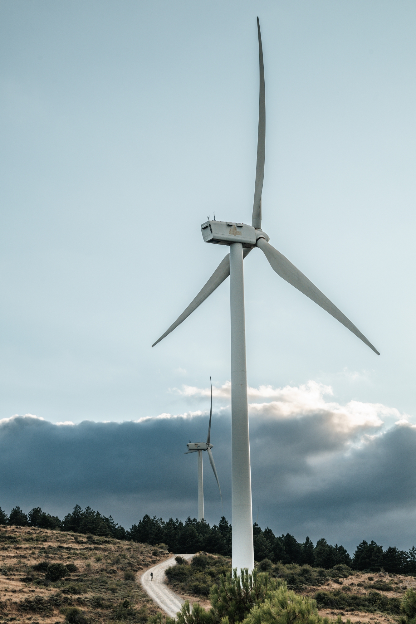
Climbing again, our energy returned. At Muro de Aguas, we lay on the ground for 20 minutes, letting the fatigue settle before tackling the next set of climbs. Dinner in Enciso, a sandwich to go, and then one of the most beautiful moments of the ride: a gravel climb at dusk, panoramic views, and a rollercoaster above 1,500 meters of elevation through a corridor of wind turbines.
By midnight, we reached Villoslada de Cameros. Nothing was open. We tried sleeping under an arch, then behind a building, but it was too cold and exposed. After 40 minutes of shivering semi-sleep, we gave up. Better to ride than freeze.
Day 2.2: The refuge we didn’t expect
36.8 km | +1,070 m | 02 h 49 min 16 sec
Between 2:30 and 5:30 AM, we accumulated 1,000 meters of elevation gain over 36 km, topping out on the Montenegro climb from its gravel side.
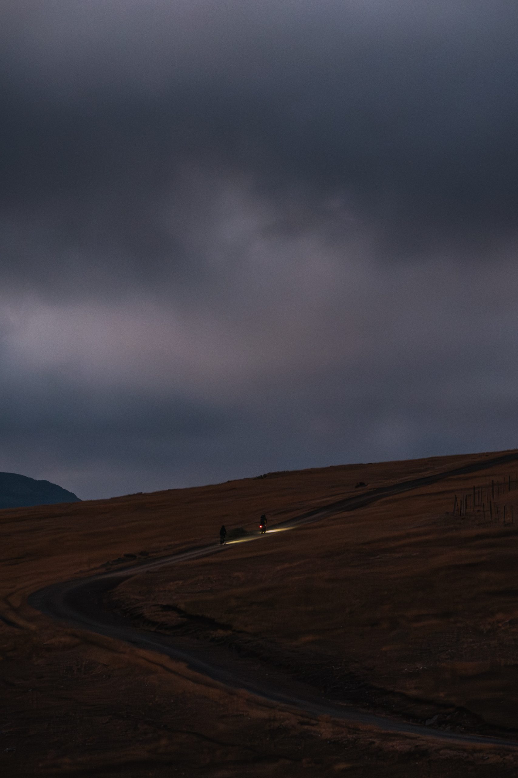
Our front light was about to die, and the first part of the descent required full attention, given the broken gravel and steep slopes. We managed to reach the road that would lead us to the start of the next climb, and after a couple of harpins, it happened. Complete blackout. We managed to stop without crashing and turned on our headlamp, barely strong enough to make out the white line on the road.
Stressed, cold, and low on power, we reached Viniegra de Arriba. A tiny mountain village, with a population of 40 people — as per the National Statistics Institute —, so we had low expectations. We spotted a natural water source. Next to it, a small cabin. It had a door. Would it be locked?
Inside: a sofa, blankets, a bench, and best of all, electricity. We could charge our devices. It was exactly what we needed.
We rested until dawn. It was hard to believe how perfectly timed that discovery had been. We left the place as we found it, more motivated than ever to finish the job.
Day 3: Last hurdles
194.2 km | +3,593 m | 11 h 51 min 53 sec
There is one thing we clearly remembered from the briefing: the climb to Pico de las Tres Cruces would be the hardest. They weren’t lying. Twelve kilometers of gravel at over 10% average gradient. The summit was above 2,000 meters. It took two hours, but it felt like five.
We descended to the Valdezcaray ski station, followed the main road down for a couple of kilometers, and then took a deviation to tackle a short but steep climb followed by a twisty and slippery descent. In Ezcaray, our hands ached from the cold and tension. We laughed when we saw that the main road we had left earlier actually led to the same place. They really wanted us to suffer.
Taking advantage of a flat section, we hammered along the Oja Greenway to Santo Domingo de la Calzada, one of the major stops of the Camino de Santiago. For the next kilometers, we followed the famous route in the opposite direction and exchanged “Buen camino” greetings with pilgrims.
While eating a tortilla in a bar, we checked Dotwatcher for the first time. We were 7th. Erik was just ahead. No need to chase. The riders behind us were far back. We took our time, as making it before sunset was still very reachable.
With fewer than 100 km to go, we allowed ourselves one last power nap in a vegetable field. Emergency blanket out. Twenty minutes of stillness.
The last part of the route brought us into Izki Natural Park. The terrain was anything but smooth, tackling from sandbanks to rock gardens, with other technical segments in between. The whole body went into autopilot mode. At some point, hours after our last contact with human civilization, we came across a couple who shouted, “Come on Javi, last push! You are from Basajaun, no?” We’re still not sure if that really happened.
In one way or another, we made it to the virtual point where the timing ended, on the outskirts of Vitoria. It was 8.04 PM, meaning that it had taken us 60 hours to complete the route.
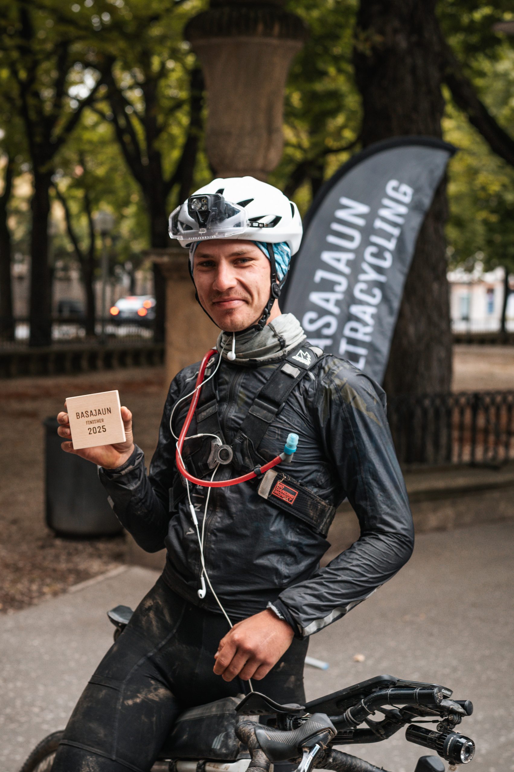
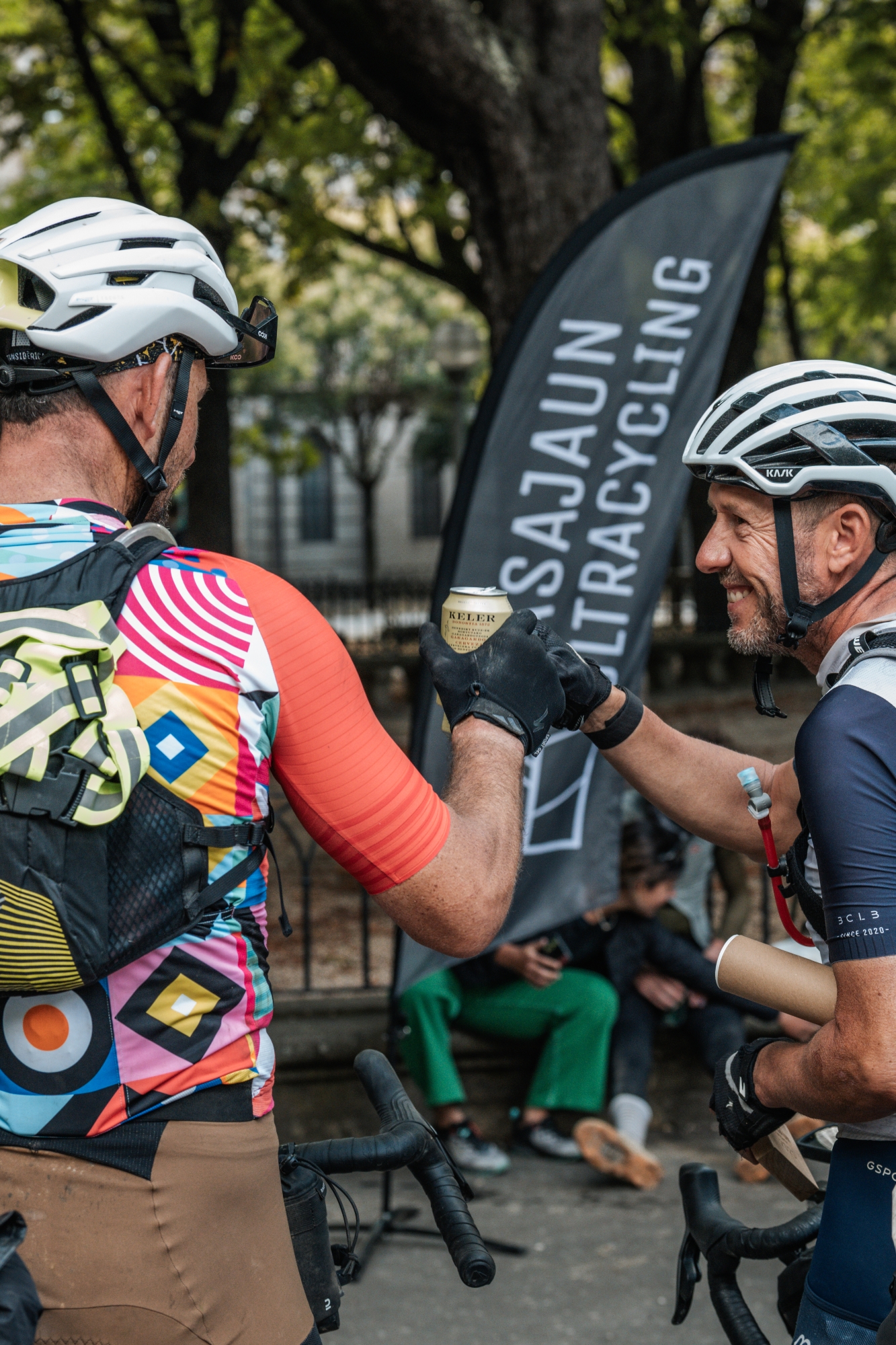
Others stayed there for a while to let everything sink in, but we were starving, so we took the fastest way to the Florida Park, where the organizers handed us our finisher gifts.
Check into the hotel. Order food. Collapse.
What did we just do?
It was not until the next day that we realized what we had accomplished. That morning, while catching up with work in the hotel lobby, we were constantly looking outside – Florida Park was in front – and smiling whenever another finisher arrived.
Later that day, while having some rewarding pintxos for lunch, the restaurant owner said the same thing Joseba Beloki had: “What you’ve done is insane.”
Maybe it is. Maybe that’s the point.