


The French Vosges are probably unknown to those living in the southern part of Europe, but this mountain range is the go-to destination of cyclists from the Benelux area and beyond, looking for the long climbs that they lack where they reside, without the need to go all the way down to the Alps or the Pyrenees.
Located in Eastern France, near its border with Germany, these mountains are the chosen region of this ‘Places to Ride’ article because we want to highlight the aspects that turn the Vosges into potentially your next cycling destination.
Presence in the Tour de France
The decisive stages of the Tour de France usually take place in the Pyrenees and the Alps, but over the last couple of years the Vosges have played a key role – or at least that was what the organizers intended – in the outcome of the race. The second to last stage of the 2023 Tour de France was a short but intense route, climbing several of the toughest climbs in the region. Last year, the last stage of the Tour de France Femmes saw the riders grind their teeth up Le Markstein to decide the battle for the yellow jersey and win the first female edition of the French race in over 30 years. Some of the most prestigious sportives also take place in this area. Les 3 Ballons, the Granfondo Vosges or L’Alsacienne are not the average cyclo for recreative cyclists, and riders from France and neighboring countries set them as one of the goals of their year.
Our own experience
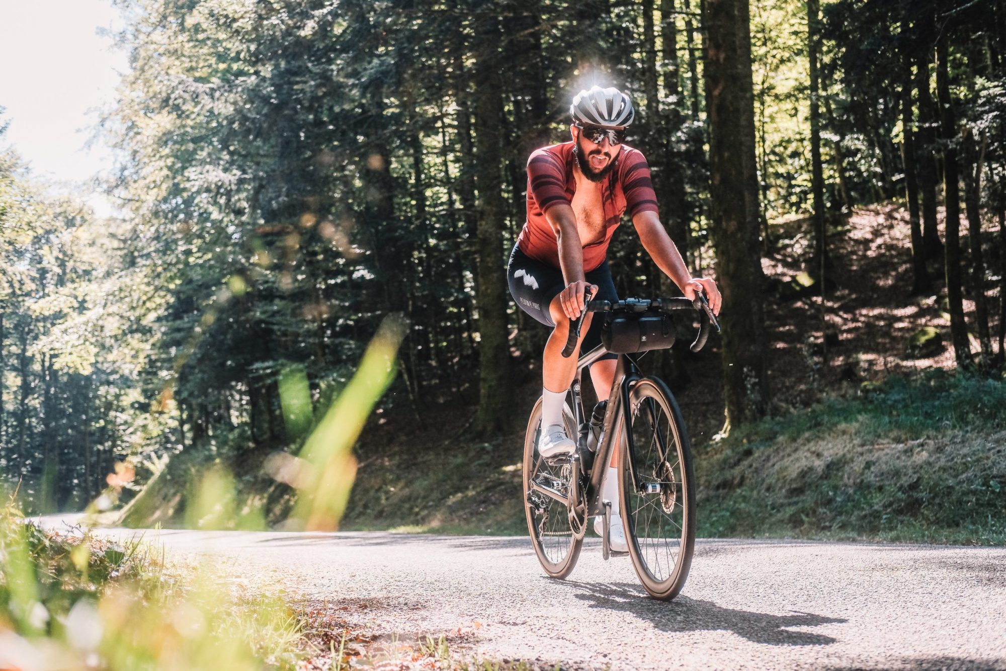
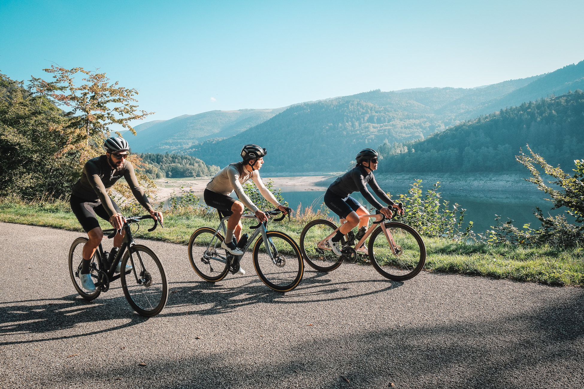
We have visited the Vosges a couple of times over the last few months, and our experience has been very positive. Last July we didn’t want to miss the occasion to see the Tour de France stage live, and even if the race had been already decided by then, we really enjoyed ourselves. We climbed Le Petit Ballon and the Platzerwasel on the same day as the pros, when the crowds had already populated both sides of the road and cheered for any rider passing by.
That time we were based in Colmar, in the middle of Alsace. From there one can warm up during the first few kilometers while getting out of the city and into the mountains, riding alongside the vineyards that populate the region. Nonetheless, if you want to start climbing right away, La Bresse is perfectly located in the middle of the Vosges and allows you to tackle several climbs in a single ride.
Vosges vs Alps & Pyrenees
One of the main arguments for going on a cycling holiday to the Vosges instead of the Alps is the possibility of planning routes that resemble a proper loop and not an out-and-back. For example, the Galibier, given its length and its remote location, cannot be included in a feasible, circular loop. Instead, there is not a single road leading to the top of the climbs in the Vosges, and one can plan several routes with barely any road overlap. For example, Le Grand Ballon has seven ways to the top, ranging from 10 to 25 kilometers in length, and with moderate average incline.
No one is denying that there is nothing like reaching the top of a climb topping at over 2.000 meters after a +20km ascent, but it breaks all training schemes. The climbs in the Vosges are not as high but their length is optimal for any possible prescribed effort. Le Grand Ballon is the highest mountain with its 1.424 m of elevation, and the highest point you can get to with a road bike is 1.325 m. In summary, the road density and the moderate toughness of the climbs mean that the French Vosges are a very valid destination to spend a handful of days both as a recreational cyclist and a structured athlete looking to optimize their performance.
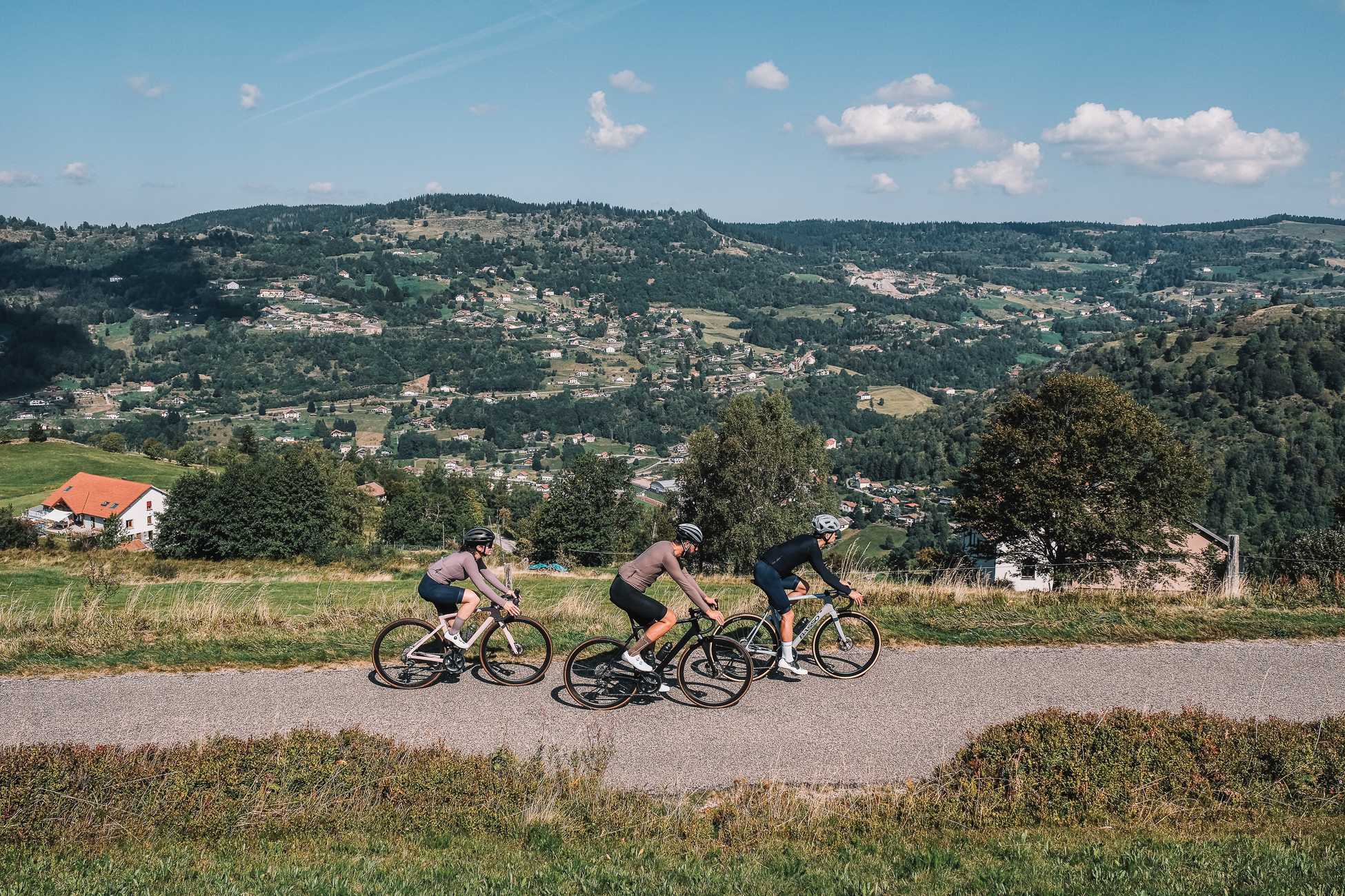
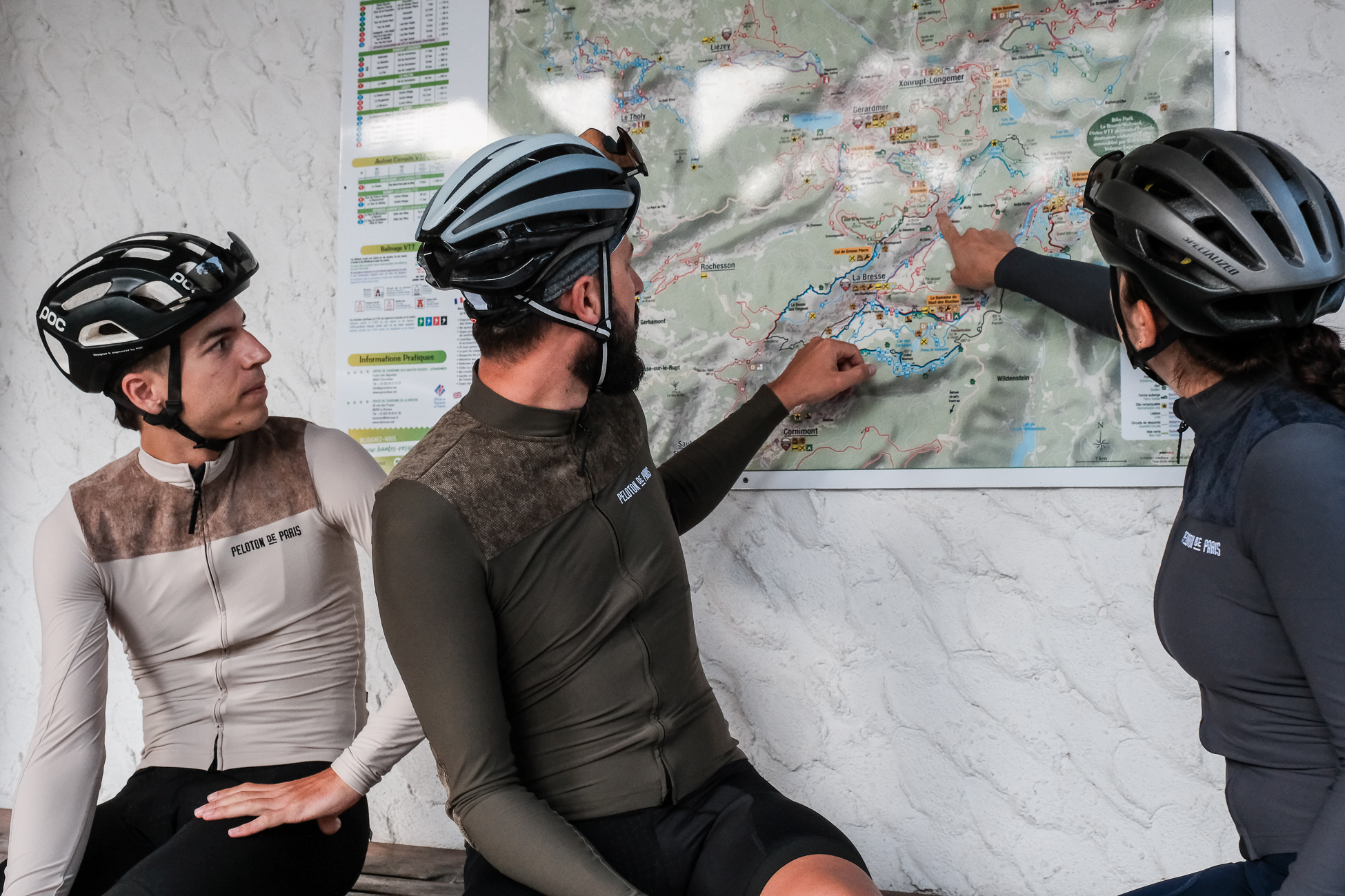
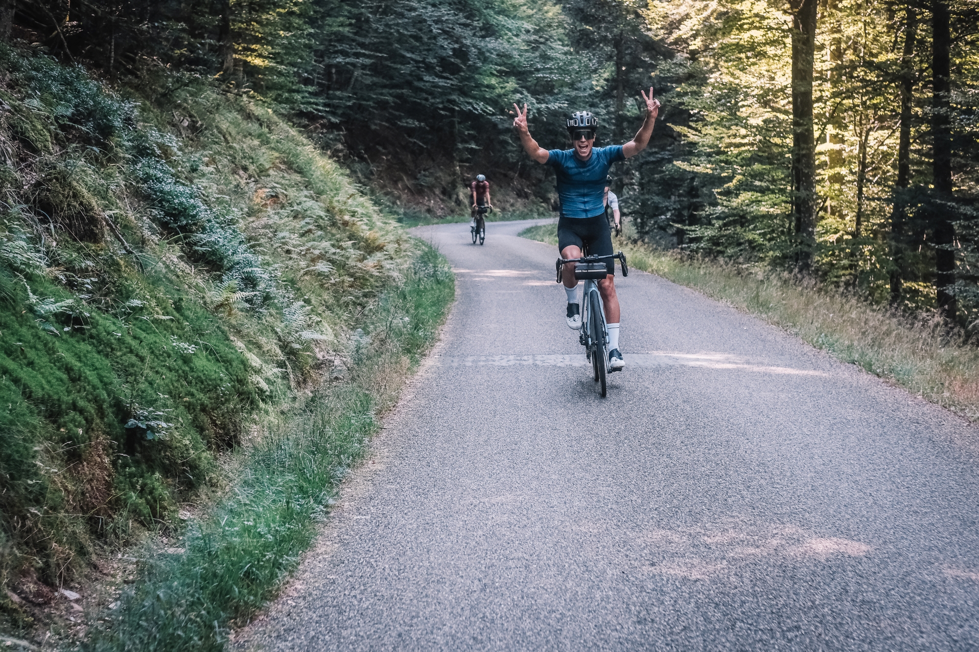
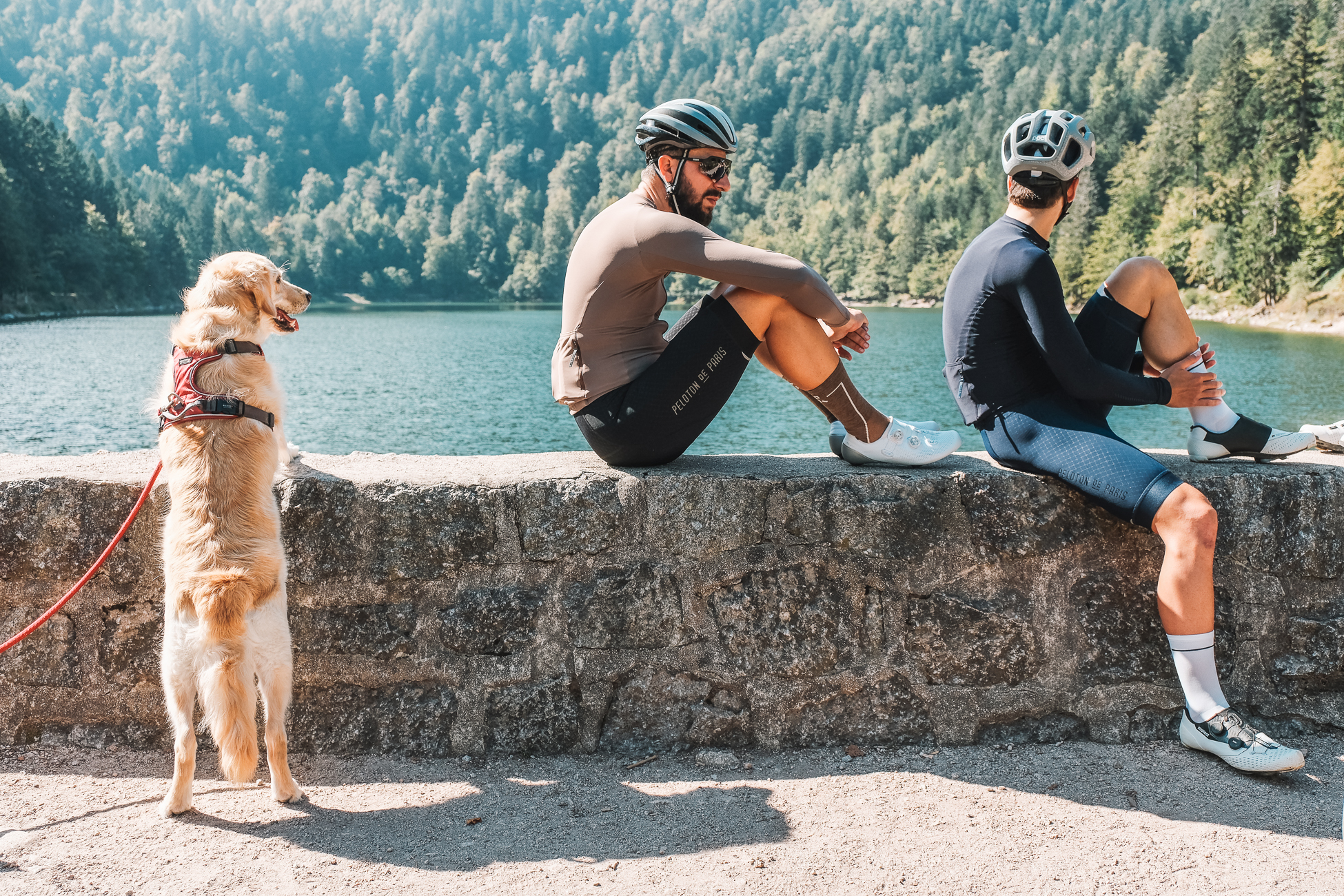
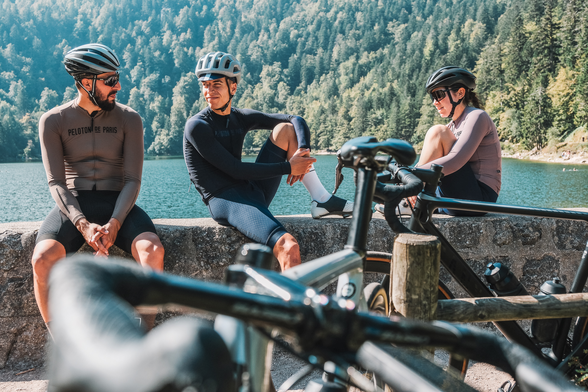
We recently stayed for a weekend in the region with our friends from Peloton de Paris, and the ride we did on Sunday is worth highlighting. We strongly recommend you follow it if you want to make the most of the region.
Starting from Le Régit, a handful of kilometers from La Bresse, the first seven kilometers are uphill in order to get to de Route des Crêtes, which we would follow for the next 25 km.
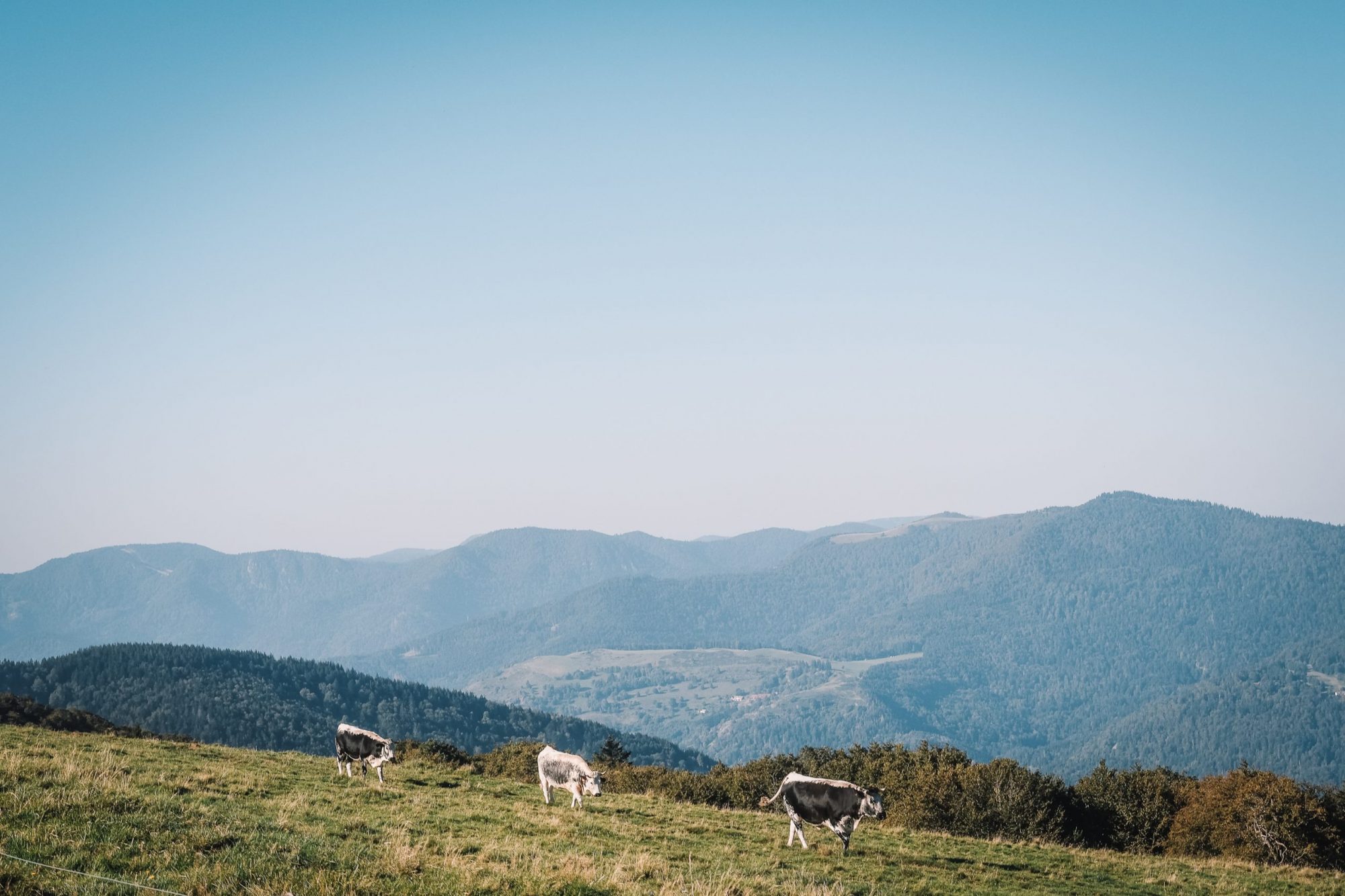
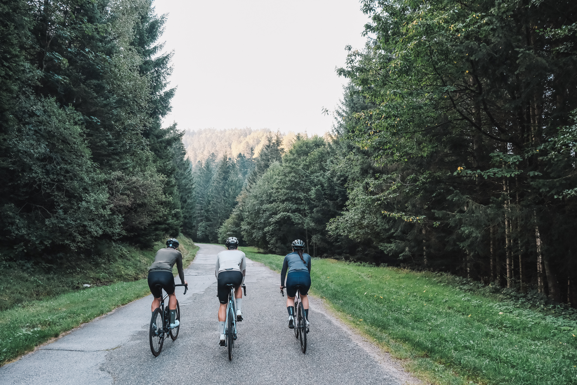
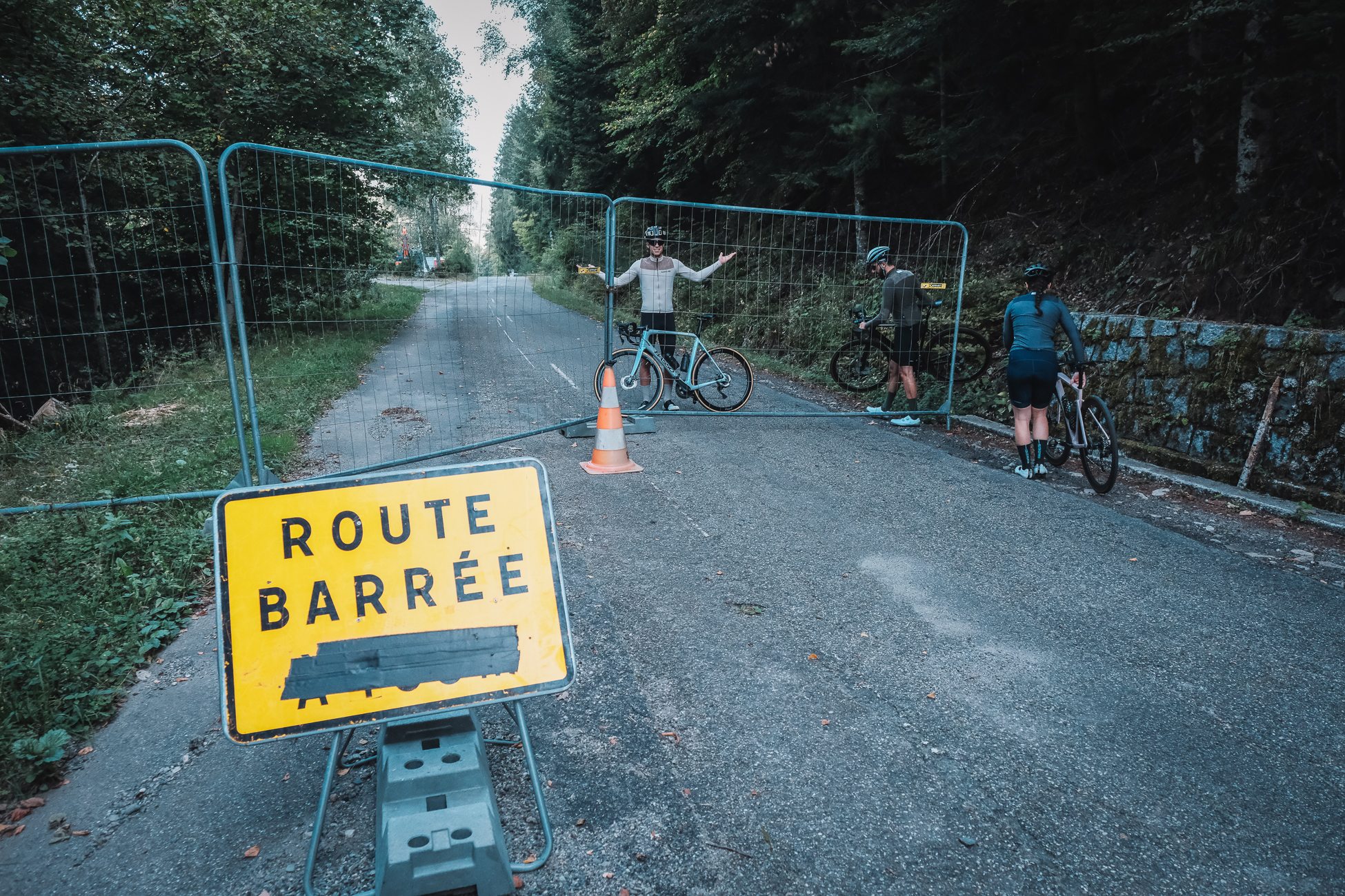
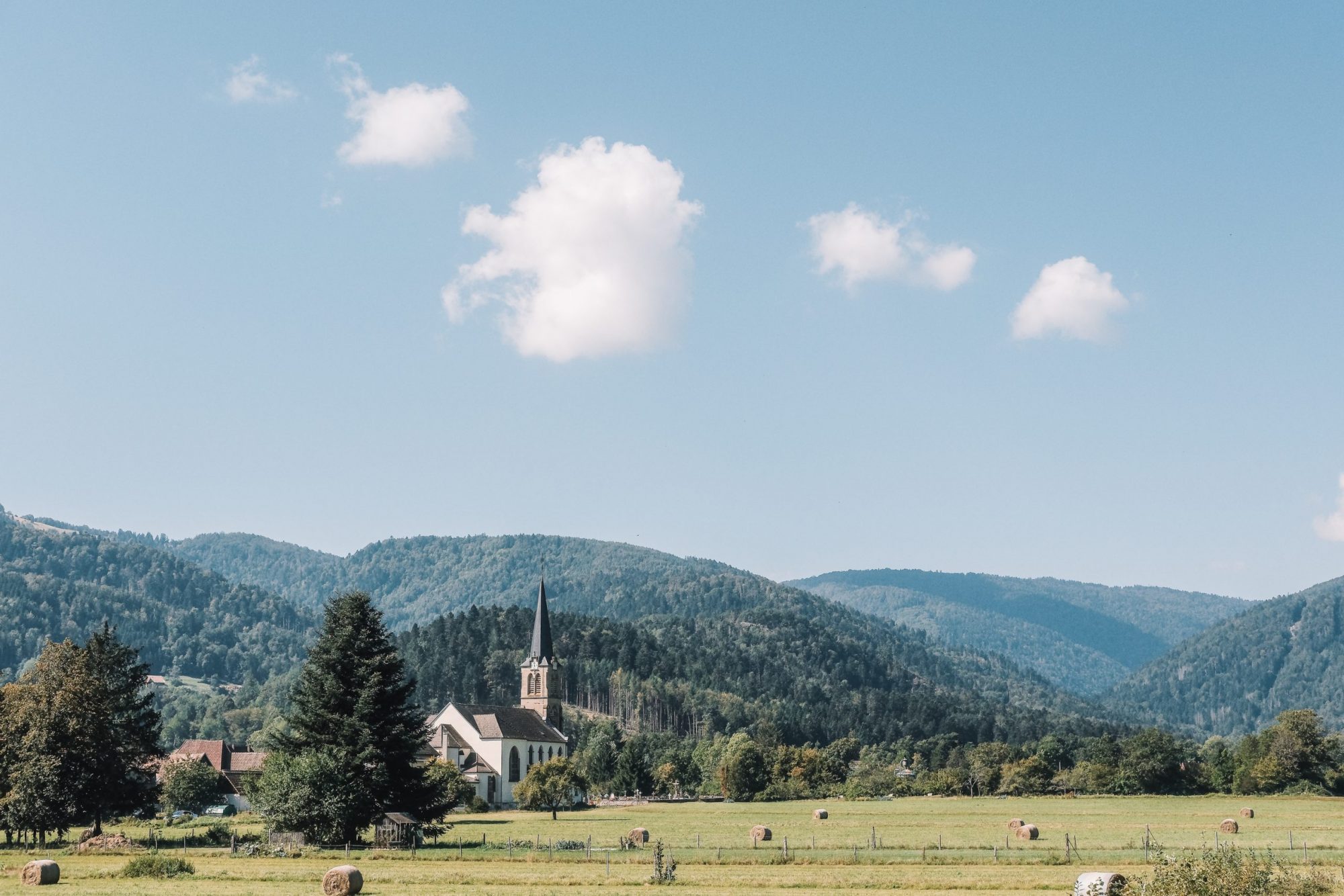
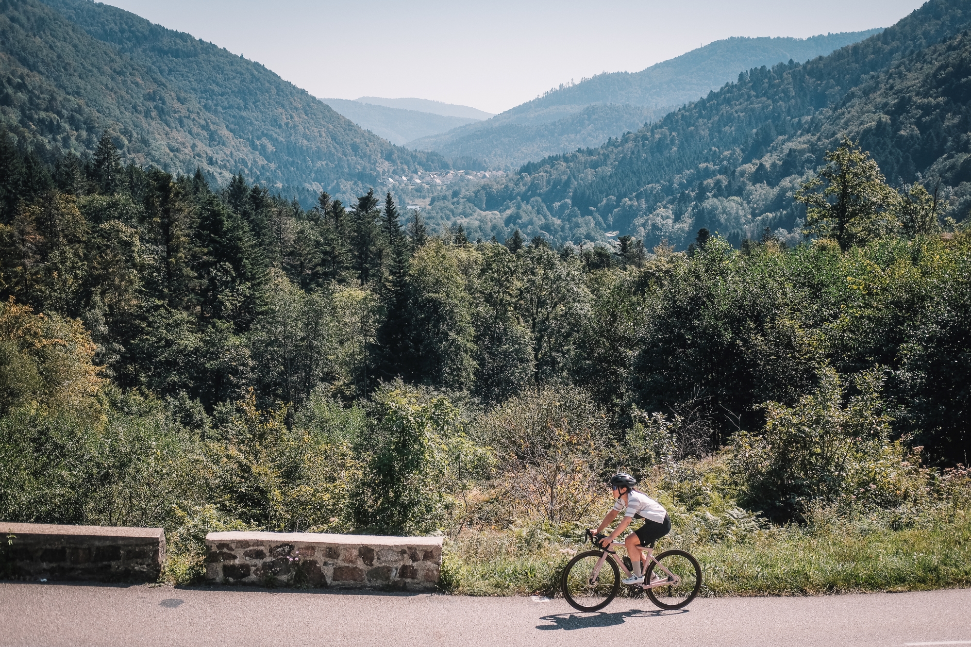
The landscapes along the proposed routes are very varied. There are parts where the deep forest of high pine trees, similar to what one could find in the Black Forest region in Germany, prevents the sunrays from hitting the road. On the contrary, the plateau following the Route des Crêtes is very exposed and allows you to see the vast pastures around you. Not only the views but also the surfaces along the way are very changing too. From the wide roads leading to the top of the major summits to the broken tarmac segments when trying to avoid the main roads, the Vosges are not monotonous at all.
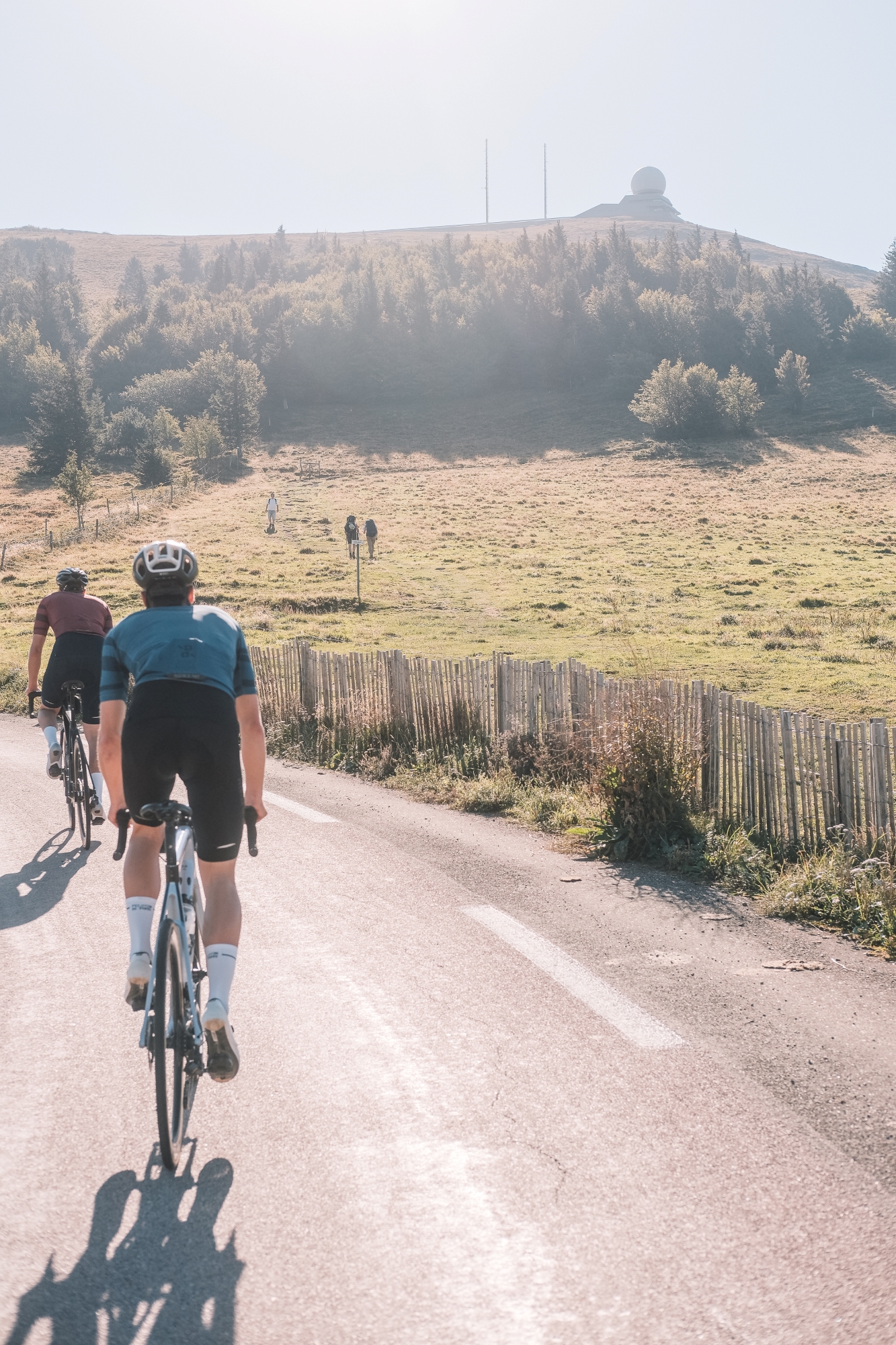
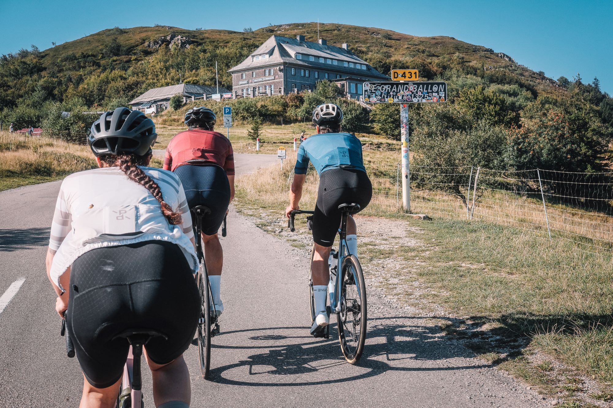
The sun was shining and the vibes were high, so in no time we had the Grand Ballon in sight. As its name says, there is a balloon-shaped infrastructure at the top, more specifically an air traffic radar. Nonetheless, the ‘ballon’ of the name does not refer to the structure at the top but to the shape of the summit, which is more rounded than the typical rocky peaks. It also reminded us of Mt. Ventoux given how windy it was around the top, turning a pleasant descent into a focus exercise to make sure we weren’t blown away.
If we use La Bresse as a reference point, the climbs to the east of the village are considered to be tougher. Nonetheless, we were aware that Ballon d’Alsace should be on the bucket list of anyone riding in the Vosges so we wanted to include it in the route too.
The most common side to climb this climb is from Giromagny, but we tackled the climb coming from the east, after circulating for over 10 kilometers along a well-designed bike path. During the first 5 km of the climb we were surrounded by tall trees and the gradient was around 7-8%, but the second half, once we linked with the main road, was more exposed and with uneven slopes.
With already tired legs, we may have preferred to go back to the accommodation through the fastest way instead of the secondary roads we initially planned, but those last kilometers were peaceful and rewarding.
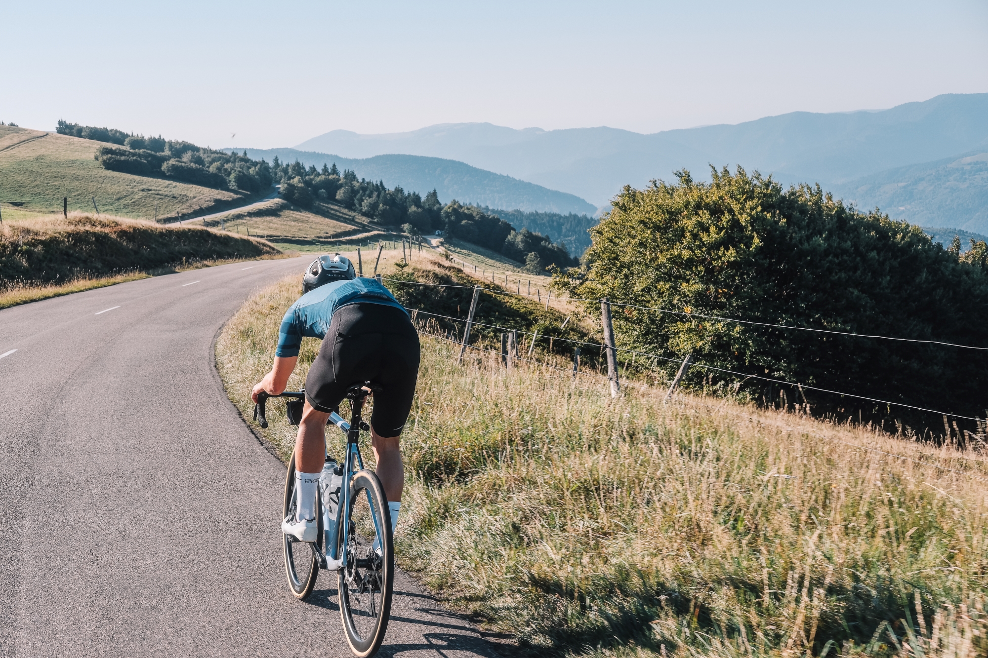
For the second suggested route, we replicate the second half of the 20th stage of the 2023 Tour de France, and then descend back to the starting point. The pros did 133 km with 3.400 meters of elevation gain; this route is just below the 3.000 meters of accumulated elevation over 112 kilometers.
Instead of starting by climbing the Col de la Schlucht, which is simply a main road with a gradually ascending tendency, the route leads us to Hohneck via a steep road passing by the Lac de Blanchemer. Hohneck is a concatenate of hairpins and the top at 1.363 m is the second highest in the Vosges, just after Le Grand Ballon.
The following 23 kilometers are downhill, allowing you to rest ahead of the two big climbs ahead. Do not underestimate Le Petit Ballon given its name, as it is tougher than its big brother. The climb starts in Munster and you accumulate 770 meters of elevation in less than 10 kilometers, resulting in an average gradient of around 8%, including a segment at 15%. Most of the climb is hidden in shade, which attenuates the high temperatures of summer, but at some points two-thirds into the climb you get to exposed areas with scenic Alpine-like views.
If on TV one could already see how dangerous the descent of Le Petit Ballon is, we can tell you that we went through some scary moments trying to avoid potholes and poorly paved sidetracks. It is difficult to recover energy in this descent, and given that the Col du Platzerwasel is no joke either, one can feel it in the legs straight away. Just think that the top is a handful of kilometers away from where the finish line of the Tour stage was located, so use it as a motivation and get over those last two kilometers at 10%.
From there on, it is about descending back to the starting point, passing by Le Lac du Kruth and wrapping things up with the Col du Bramont, which features multiple hairpins, but everything is lined by tall trees, so you do not really get to see much more than the turn ahead.
We only brought our road bikes with us, but taking into account that during our rides we saw many gravel paths running parallel to the road, we contacted some experts about gravel riding in the Vosges to know more about what the mountain range has on offer regarding that particular discipline, and we have come up with a representative route of the area.
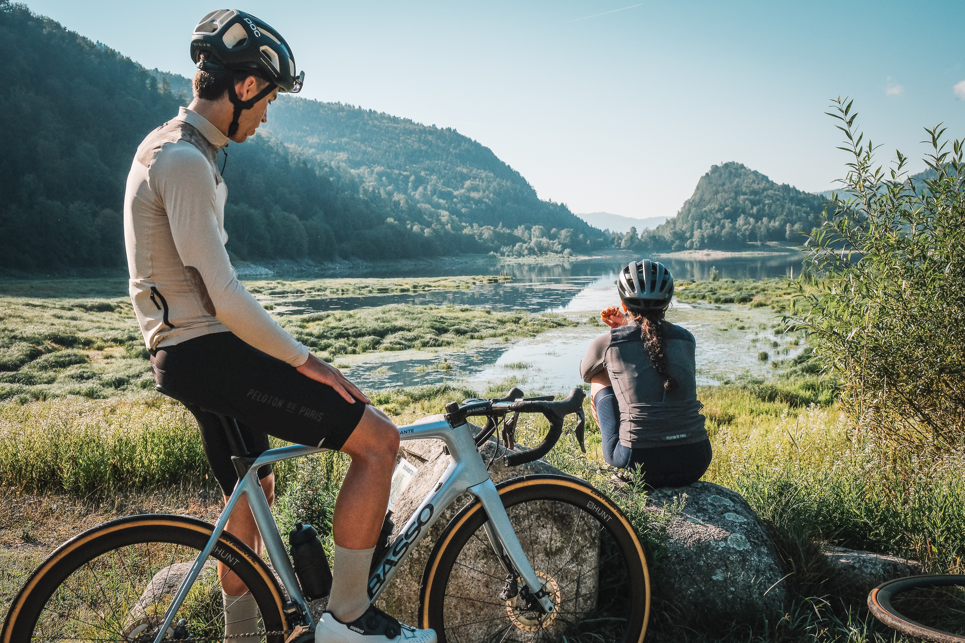
This time the route is mainly north of La Bresse and features several highlights along the extensive network of unpaved roads, which are smooth and not as rocky as in other regions of France. With some planned stops by the Lac de Longemer and the Lac de Gérardmer, one can have a breather next to the water before heading again into the woods. The presence of tarmac roads is limited and they are mainly used to link the several flowy trails that are included in this suggested route.
Additional recommendations
Most cyclists spending at least a couple of days in the Vosges will also want to climb the Planche de Belles Filles given the number of times in recent years it has been featured in the Tour de France. The climb owes its name to the legend that during the Thirty Years’ War, women committed suicide rather than surrendering to the Swedish mercenaries by jumping into the lake below. Whether you extend the climb with the last off-road section or not, the average gradient of the Plance de Belles Filles is much higher than the other climbs of the area. It is located west of La Bresse but it is at riding distance, so we encourage you to tackle it too.